Umatilla County previews draft 20‑year Transportation System Plan, cites $22M constrained budget and timeline for hearings
Loading...
Summary
County planning staff and consultant Kittleson & Associates previewed a draft 20‑year Transportation System Plan (TSP) that digitizes maps, lists Tier 1 projects within an estimated $22 million (2025 dollars) funding envelope and relies on grant opportunities for higher‑cost priorities; the plan will go to DLCD for a 35‑day review before public hearings.
Umatilla County planning staff and consultants on Thursday presented a draft 20‑year Transportation System Plan to the board and planning commission, outlining an interactive, GIS‑based project inventory, a fiscally constrained Tier 1 project list of roughly $22 million in 2025 dollars and a timeline that begins with a 35‑day review by the Oregon Department of Land Conservation and Development (DLCD).
"This is our chance to present what we've been working on for the with county staff for the last year or so, get some feedback from you all this evening," consultant Matt Hugart said as he introduced the draft and invited questions. The plan is intended to replace the county's last significant TSP update from 2002 and to align county priorities with more recent city and tribal plans.
The draft organizes projects into Tier 1 (projects that fit within the county's reasonable 20‑year revenue estimate), Tier 2 (high‑priority projects that would likely need grant funding) and an aspirational list. Project codes identify types: B for bridges, S for safety, F for freight, M for multimodal, R for roadway and I for intersections. Matt Hugart said the team attempted to identify a set of Tier 1 projects that fit within an estimated $22,000,000 funding envelope and that other desired projects remain aspirational until funding is secured.
Planning staff stressed the update moves the county's outdated paper maps into a digital GIS format so residents, staff and grant reviewers can click lines for project details. "We heard back from over 200 people, I believe," a planning staff member said when summarizing public outreach that included surveys, community events and an online engagement portal across towns such as Pilot Rock, Milton‑Freewater, Pendleton and Hermiston.
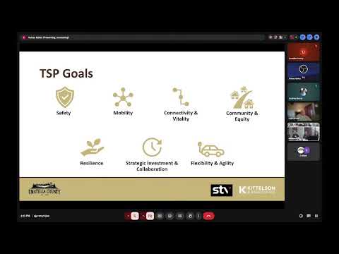
The consultants described the TSP as a multimodal plan—covering pedestrian, bicycle, roadway, freight and transit needs—but emphasized that, in a rural county, freight and motor vehicle maintenance dominate available funding. Matt Hugart noted some multimodal and recreational connections are included as aspirational projects, and that many county roads were reclassified after reviewing current conditions and partner agency inventories.
Speakers addressed specific implementation and funding realities. The team said the monetary figures presented in the plan are expressed in 2025 dollars to avoid adding inflationary layers to the plan document, and that grant applications would be adjusted by staff during implementation. County staff said the TSP helps position projects competitively for grants such as Safe Streets for All (SS4A) and other federal and state funds.
The presentation used the Power Line Road / I‑82 interchange and a proposed new bridge across the Umatilla River as an example that will require a refinement study to determine whether the interchange should be widened or completely reconfigured before construction. Consultants said refinement studies are necessary where traffic patterns and land‑use changes have outpaced the original design assumptions.
Cheryl Jarvis Smith of the Oregon Department of Transportation, who joined online, told the group the grant tied to this work has a later expiration date than initially anticipated. "We have until I believe it was November 19," she said, referring to the grant timeframe and the county's flexibility to finalize the TSP and associated deliverables before the grant ends. After the county submits the draft to DLCD and the 35‑day review window closes, the planning commission will hold evidentiary hearings; if recommended, the plan would then proceed to the Board of Commissioners for adoption.
County officials and commissioners asked how the TSP will be updated going forward. Consultants recommended hosting the plan in an interactive ArcGIS platform—citing the City of Boardman's implementation—as a way for county GIS staff to mark projects complete or adjust the online inventory without repeating the entire adoption process. Planning staff said an electronic 'living' approach would make updates easier and allow projects to move between tiers as funding becomes available.
The meeting ended with staff offering to distribute the electronic draft to commissioners and planning members for review and to accept additional input before formal DLCD submission. The session adjourned without formal action or a vote.