Lifetime Citizen Portal Access — AI Briefings, Alerts & Unlimited Follows
Seattle committee recommends ordinance adopting permanent floodplain maps consistent with FEMA
Loading...
Summary
On March 17, 2026, the Land Use and Sustainability Committee recommended passage of Council Bill 1211152 to adopt permanent floodplain development regulations aligned with FEMA's February 2020 flood insurance rate maps, approving a clerical amendment and forwarding the bill to full council on March 24.
The Land Use and Sustainability Committee recommended passage of Council Bill 1211152 on March 17, 2026, advancing an ordinance to adopt permanent floodplain development regulations and the February 2020 FEMA flood insurance rate maps for Seattle.
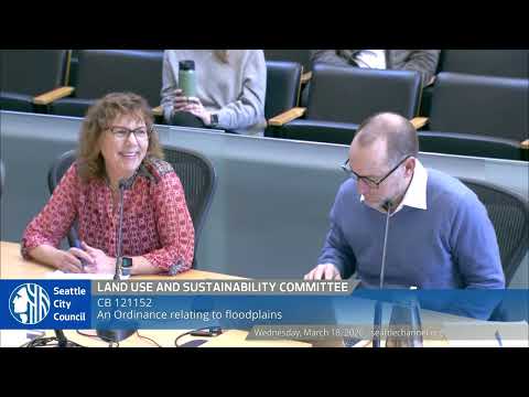
Chair Eddie Lynn moved the committee recommendation and said the legislation sets forth permanent rules to comply with federal administration by the Federal Emergency Management Agency. "These permanent floodplain development regulations apply to permit applications for construction on property within floodplain areas mapped by FEMA," Lynn said, noting the 2020 FEMA maps became effective Aug. 19, 2020 and the city has used interim regulations while working to finalize permanent rules.
Keto Freeman of council central staff described Amendment 1 as a drafting correction. Freeman said the amendment replaces an incorrect reference to "substantial damage" and clarifies that the definition of "substantial improvement" does not apply to improvements necessary to remedy code violations or to approved alterations by the landmarks board. "This mirrors what's in the code of federal regulations," Freeman said.
Maggie Glowocki of Seattle Department of Construction and Inspections (SDCI), who leads updates to environmental regulations, told the committee SDCI met with pier owners and Mr. McCullough to answer questions about how proposed permanent regulations would affect projects. "We had a great discussion," Glowocki said, and reported staff received no follow-up questions from that meeting.
Freeman also clarified the limits of city authority on floodplain mapping: "That mapping is reflected in the flood insurance rate maps that are promulgated by FEMA. It's not something the city has the authority to change," Freeman said, though he noted the city could seek remedies through intergovernmental channels.
The committee voted to adopt Amendment 1 and, following final comments and a roll call, voted 3-0 to recommend passage of Council Bill 1211152 as amended. Chair Lynn said the committee's recommendation will be sent to the full City Council meeting on March 24, 2026.
The amendment corrected drafting language in the bill's definition section concerning substantial damage and substantial improvement; staff said the change was intended to align the ordinance with federal regulatory language. The committee record shows the amendment passed with three votes in favor and none opposed; the committee then voted to pass the bill as amended by the same margin.
The next step is full council consideration on March 24, 2026, where council members will take up the ordinance for further action.