Lifetime Citizen Portal Access — AI Briefings, Alerts & Unlimited Follows
Planning committee moves hatched parcels into 'moderate growth' on future land‑use map
Loading...
Summary
The committee unanimously directed staff to reclassify a pair of hatched parcels from a mixed/uncertain designation to the moderate‑growth category on the draft future land‑use map and agreed to seek additional input from agricultural stakeholders before further changes.
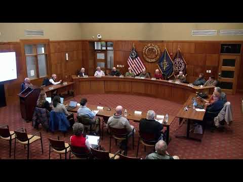
The Auburn planning committee voted unanimously to adjust a pair of hatched parcels on the draft future land‑use map, conforming them to the moderate‑growth designation after staff presented parcel‑level edits and members raised concerns about consistency and practical impacts. "I don't see any value really in changing it there," Dana Staples said while noting the parcels run through an existing house lot and the Lake Auburn watershed.
Staff planner Ali Toby had shown how the map edits tracked parcel boundaries, added Lost Valley parcels into the Lake Auburn watershed layer and flagged a floating agricultural resource area that borders I‑95 for further consideration. Committee members debated whether strip‑zone frontage should force a change to moderate growth on both sides of the road or allow an island of low growth between higher‑intensity zones.
Paul Jacques warned a reclassification could affect landowners' tax treatment: "you're probably raising somebody's taxes because their land is no longer taxed as though it's ag zone," he said, citing the practical consequence of changing a parcel's official land‑use designation.
After discussion, the chair asked for a thumbs‑up to include the hatched parcels in the moderate‑growth designation; the chair then announced unanimous support and asked staff to update the map. Jeff Hyman said staff will also meet with agricultural stakeholders "with the people from Ag and Maine Farmland Trust" (a meeting planned after a staff member returns from vacation) to gather additional information before proceeding on other related parcels.
The committee also handled routine business at the same meeting: it amended and approved the previous meeting's minutes following a roll‑call clarification about a member's absence. The minutes amendment was adopted by voice/hand vote.
Staff will update the draft map to reflect the committee's direction, circulate the revised materials to committee members, and present the updated map at the next scheduled meeting for further review and public outreach.