Get Full Government Meeting Transcripts, Videos, & Alerts Forever!
Get email alerts on the Future Land Use topic
No spam. Unsubscribe anytime.
Auburn planning committee narrows future land-use map, excluding some sensitive parcels and marking others for review
Summary
The committee refined the draft future land use map, agreeing to exclude the Taylor Pond watershed and certain special‑use parcels from high-density designation while adding several edge parcels for possible high-growth status pending further staff analysis of water, sewer and watershed constraints.
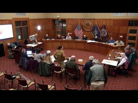
The Auburn Planning Committee spent its Dec. 16 meeting refining a draft future land use map and debating which parcels should be designated as high growth and high density under forthcoming state rules.
Chair opened the meeting by noting the staff review of subcommittee work and the large volume of recommendations: "I counted them — they were 270 action items," the chair said, noting staff and consultants would fold those items into an updated draft for the committee and subcommittees to review.
Staff planner Ali Tobey walked members through an updated map layer that added parcels within 200 feet of sewer lines and with water access to the proposed growth area, citing draft state guidance for LD 18‑29: "We took the sewer line data from Auburn Water & Sewer District and highlighted parcels within 200 feet; the growth area was updated slightly based on that," Tobey said.
Committee members pressed whether overlay and special‑use areas such as cemeteries, shoreland, floodplain and conservation lands should be carved out of the red high‑growth zone or treated as land‑use categories after the gross zone is set. Multiple members favored defining the broad high‑growth boundary first and then assigning land‑use categories that would protect cemeteries, parks and floodplains.
On Taylor Pond, the committee agreed the watershed and overlay district should be removed from the high‑growth designation because of water‑quality concerns and seasonal water infrastructure limits. "I would propose that we exclude those from the high density, high growth zone because the basis of putting water and sewer in there was not for development; it was for pollution control," one member said.
The group also resolved several parcel‑level decisions: a small Stetson Road triangle — previously mis-snapped to parcel boundaries — will be included in the high‑density area because of adjacent approved housing; a triangular parcel owned by the National Guard near Garfield Road will be excluded from the growth area; and an agricultural parcel on River Road that members described as "not forward‑looking agricultural land" will remain in the high‑growth zone because it sits amid development and has water/sewer access.
Members debated a larger swath of city land near the I‑95 interchange and Vickery/South Main about whether to hold it as a long‑term high‑growth signal (useful for investment planning) or refine the growth map into smaller nodes that reflect nearer‑term infrastructure capacity. Staff said municipal service and response‑time modeling is underway and that more granular recommendations will be presented to the committee.
Next steps: staff will integrate the subcommittee and city staff comments into a revised map and narrative, the committee will convene two subcommittee evenings (dates to be polled) in mid‑January, and the full committee will reconvene on Jan. 27 to continue work on land‑use categories and boundary refinements.
The committee adopted the previous meeting minutes by motion and voice vote and adjourned at the end of the session.