Get Full Government Meeting Transcripts, Videos, & Alerts Forever!
Get email alerts on the Floodplain topic
No spam. Unsubscribe anytime.
Fletcher council weighs tougher floodplain rules after storm Helene
Summary
Council members discussed raising residential elevation requirements, prohibiting some sensitive uses in floodplains and pursuing 'no‑adverse‑impact' standards after Tropical Storm Helene damaged parts of town; planning‑board recommendations are expected after April.
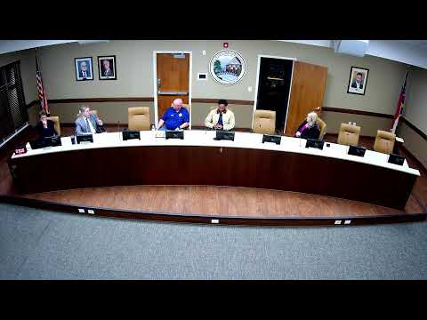
The Fletcher Town Council discussed potential changes to the town’s floodplain ordinance at length following the flooding caused by Tropical Storm Helene.
A committee member said the town currently requires new development to be elevated 3 feet above the base‑flood elevation, higher than the state model and FEMA standards outside coastal zones. "We currently require new development to be elevated 3 feet above the base flood elevation," the committee member said, noting planning‑board conversation had leaned toward keeping 3 feet for nonresidential construction and recommending 4 feet for residential development to better protect sleeping occupants.
Council members and staff also considered prohibiting certain sensitive uses in mapped floodplains — for example, multifamily housing, daycare centers and assisted‑living facilities — and discussed how recent state law language (referred to in the meeting as Senate Bill 382) can operate as a de facto downzoning tool by removing permitted uses from a zoning district. The committee member urged the town to decide local standards and to be prepared for potential legal challenges later: "My thought is ... decide what we want for our floodplain ordinance and push forward. If we get challenged later, then we amend or see if we have a leg to stand on."
Engineers and other council members warned about the practical effects of stricter controls. A committee member who described emergency‑services and engineering perspectives said adding fill or compressing channels can shift flood risk downstream. A resident account relayed rapid Thorncrest flooding after a possible log jam failure: "They stood in the roadway and watched their houses fill 2 feet of water," the committee member recounted, pressing for study of what caused the sudden inundation.
Town staff and consultants will return with planning‑board recommendations after the board’s April meeting. The manager and staff suggested a focused educational work session with visual maps and engineering input before council adopts any ordinance changes; the moratorium on floodplain development that the town put in place after the storm runs through December.
Why this matters: Council members framed the debate as a balance between life‑safety gains from higher elevation or no‑adverse‑impact standards and the economic and legal consequences of severely restricting development in limited buildable areas. The discussion sets a timetable for more detailed proposals: planning‑board recommendations in April, staff recommendations to council in May and a possible public hearing in June.
Next steps: Staff will ask the state floodplain coordinator for mapping‑update status and will bring finalized planning‑board recommendations to council for next steps and counsel review.