Get Full Government Meeting Transcripts, Videos, & Alerts Forever!
Get email alerts on the Land Use topic
No spam. Unsubscribe anytime.
National City council introduces zoning-map amendment to implement updated general plan
Summary
After a four-year update, the council introduced an ordinance to rezone multiple corridors to support the Focus General Plan and Climate Action Plan, adding capacity staff estimate at roughly 600 additional dwelling units over the long term; adoption is scheduled in two weeks.
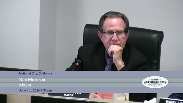
Mayor Morrison called a public hearing and staff presented a zoning-map amendment designed to implement National City’s Focus General Plan update and Climate Action Plan. Assistant Director Martin Reeder and consultant Tara Lake said the rezoning refines zone designations across several corridors — including 18th Street, D Avenue, areas near the hospital and transit corridors — and adds residential capacity intended to support walkable, transit‑oriented growth.
The staff presentation said the GenPlan update increases the estimated 2050 buildout to about 23,325 dwelling units; the rezoning adds roughly 600 units over the prior map by targeting underbuilt parcels and vacant sites. Lake explained the build assumptions: parcels with assessed building‑to‑land value ratios below thresholds were treated as likely to redevelop and were modeled to build out at roughly 75 percent of theoretical capacity. Rezone examples noted in the presentation included an RM1 (multiunit) designation allowing roughly 23–24 dwelling units per acre with four stories in neighborhoods such as east 4th Street, and an MXC1 minor mixed‑use zone with up to 48 du/acre near the hospital.
Councilmembers pressed staff on implementation details and public infrastructure. Martin Reeder and City Engineering Director Steve Manganiello said the city is running master‑planning analyses (sewer, streets, utilities) and intends to match infrastructure upgrades with development through budgeted capital projects and grant applications. Reeder said the rezoning also integrates objective design guidelines and a climate action framework and that an interactive zoning map would be published on the city website to help property owners and residents see parcel‑level changes.
During the public hearing, developer Stephen Gaspar (Keier Builders) voiced support for the changes on 8th Street and for transit‑oriented flexibility near Paradise Valley Hospital. Residents including Edward Nieto and Cynthia Fuller Quinones said they generally supported more housing but urged more targeted outreach, clearer design and parking standards, and resources to help low‑income homeowners and renters respond to rezoning. “People who live in that area want to see what the standards are,” Nieto said, urging stronger neighborhood engagement before properties redevelop.
Councilmember Bush moved to introduce the ordinance by first reading; Councilmember Rodriguez seconded and argued the city should embrace density near transit to meet housing needs. The motion to introduce passed with Councilmember Molina recused; staff said the ordinance will return for adoption in two weeks.
If adopted, the zoning map amendment will be the regulatory step that implements the Focus General Plan and enables the City to apply design and development standards required by the EIR and the Climate Action Plan. Reeder said more detailed parcel‑level materials and the interactive map will be posted online to help residents track specific property changes.
The city scheduled the adoption vote for the next regular meeting in two weeks.