Get Full Government Meeting Transcripts, Videos, & Alerts Forever!
Get email alerts on the Floodplain Management topic
No spam. Unsubscribe anytime.
Cathy Shaw demos mapping tool as Highlands pushes for FEMA Community Rating discount
Summary
Highlands’ CRS coordinator Cathy Shaw demonstrated a new Forerunner property-mapping platform and described efforts to remove repetitive-loss properties and secure a FEMA Community Rating System (CRS) discount; she highlighted Bay Avenue’s redevelopment as an opportunity for elevated, flood-resilient mixed-use buildings.
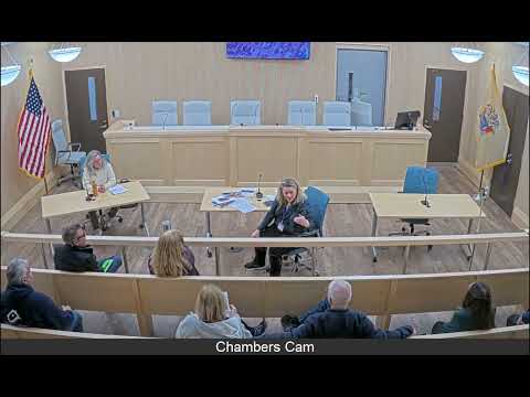
Cathy Shaw, Highlands’ Community Rating System coordinator, demonstrated a new Forerunner mapping and records tool on Thursday and outlined how the borough is working to reduce residents’ flood insurance costs and manage repetitive-loss properties.
Shaw said the platform gives an address-based property profile showing flood zones, elevation data, MOD4 assessment values and permitting history, and that it will help homeowners, realtors and engineers understand whether a structure is subject to substantial-improvement rules. “This is your tool. This is Highlands’ tool,” Shaw said, adding that the town is using the system to document mitigation that FEMA requires to remove properties from a repetitive-loss tracker.
Why it matters: Highlands inherited roughly 300 properties the borough classifies as repetitive-loss or increased-claims-compliance cases; those properties can block the town from earning larger CRS discounts that reduce flood insurance rates across the community. Shaw said the borough has built a strategic plan and a packet for a FEMA Region 2 review but is waiting for FEMA to schedule the site visit needed for recertification.
Shaw walked audience members through the platform’s features, showing how to measure distance from a house to water, toggle flood and infrastructure layers, and view an improvement-value calculation used in the borough’s ten-year ‘‘odometer’’ look-back for substantial-improvement determinations. She described a recent case in which a long-neglected bungalow’s renovation would have pushed the improvement ratio toward 50 percent, triggering elevation requirements; instead the buyer obtained an elevation certificate and the property was removed from restrictive status.
An attendee asked what “MOD4” stands for; Shaw and the mayor said MOD4 is the state property-tax parcel dataset the platform uses to show improvement, land and parcel values. Shaw said the tool shows the most restrictive FEMA requirement for each profile and stores elevation certificates the borough has on file. “So it’s very hard to toggle on the FEMA map service,” she said, noting the Forerunner view makes that information immediately available to residents.
Shaw also described a recurring challenge: older elevation certificates and missing documentation. She said FEMA will only accept elevation certificates on the current required form (the meeting transcript records a year reference that participants disputed—see Audit), which has slowed the borough’s ability to clear some properties from the national violation tracker. Shaw said the town’s approach has been case-by-case: pursuing permit-closeouts, securing new elevation certificates for completed elevations, and offering owners options such as independent appraisals in the context of a real-estate sale.
On Bay Avenue redevelopment, Shaw highlighted designs for elevated mixed-use buildings—ground-level promenades for events and artisan vendors, upper-story residential units, and covered parking—that would meet new floodplain-management rules and lower insurance costs for tenants and owners. She said redevelopment provides an opportunity to assemble multiple lots and build structures that are resilient and financially feasible where single-lot compliance would be prohibitive.
The mayor opened and closed the meeting and reiterated that the borough is ready to present its materials to FEMA Region 2 when the agency schedules the review. The session included a question-and-answer period and concluded with a reminder that materials and pamphlets are available from the borough and that the meeting recording will be posted to the borough’s YouTube channel.
Next steps: Shaw said borough staff will continue documenting elevations in the Forerunner system, work through the compliance pipeline to close outstanding permits and press FEMA for a recertification visit; no formal vote or regulatory act occurred at the meeting.