Get Full Government Meeting Transcripts, Videos, & Alerts Forever!
Get email alerts on the Subdivision Extension topic
No spam. Unsubscribe anytime.
Planning commission grants two-year extension for Fernwood Village subdivision map
Summary
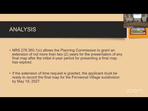
The Fernley Planning Commission voted 7–0 to grant a two-year extension for the Fernwood Village tentative subdivision map (TSM 20004), allowing the developer until May 19, 2027 to record a final map and complete required public improvements.
The Fernley Planning Commission on July 9 approved a two-year extension for the tentative subdivision map for Fernwood Village, a proposed 54-lot subdivision on about 7.08 acres east of Vine Street and south of Inglewood Drive.
Senior Planner Alisa Johansen presented the staff report, saying the tentative map was approved by the city council on May 19, 2021 and expired on May 19, 2025. She told commissioners a timely extension request filed April 29, 2025 stops the statutory clock and that Nevada law (NRS 278.361(c)) allows the commission to grant an extension of not more than two years. "If the extension is granted tonight, the applicant must be ready to record the final map for the Fernwood Village Subdivision by 05/19/2027," Johansen said, adding that required public improvements must be installed by that date.
Commissioners asked staff whether an approval follows the land if the property is sold; Johansen responded that the tentative subdivision approval "follows the land," so a subsequent purchaser could rely on the approval but would still need to meet the original conditions of approval before recording a final map. She also said one permitting holdup has been vacation of a drain-line easement owned by TCID and that no construction has begun.
Commissioner Wagner moved to approve the extension with a second from another commissioner. The motion passed 7–0. The extension allows the developer additional time to complete infrastructure permits and record the final map by May 19, 2027. The commission did not attach additional conditions beyond requiring compliance with the existing conditions of approval.
Next steps: the applicant must complete all conditions of approval and record the final map by the new deadline, and the city will continue to process the public infrastructure permits and easement matters identified by staff.