Get Full Government Meeting Transcripts, Videos, & Alerts Forever!
Get email alerts on the Roads topic
No spam. Unsubscribe anytime.
Simplicity streets module lets counties map road condition and estimate repair costs
Summary
Schneider Geospatial showed a streets module that color‑codes road condition, enables segment‑level inspections and calculates estimated repair costs from stored unit rates to support maintenance planning for county roads.
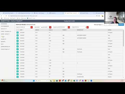
Schneider Geospatial demonstrated the streets and roads portion of its Simplicity asset‑management suite during an ISAC webinar, showing a color‑coded map of road condition, segment‑level inspections and automated cost estimates based on stored unit costs.
Danielle Hamilton, Simplicity product specialist, showed attendees a map interface where green indicates good condition and red indicates poor condition. She demonstrated how a field user can click a street segment on a tablet to open its record, add a treatment such as a 1.5‑inch mill and overlay and attach photos and notes. "And if you were out in the field on a tablet, you'd have a little dot showing where you are. Go in here, and you say I'm gonna add the treatment that I'm doing today," Hamilton said.
Hamilton explained that once agencies enter unit costs for different treatments and maintain them (suggested annually), the system multiplies stored unit costs by the measured area (length × width) and returns an estimated repair cost and an updated condition score. "Once we get those unit costs in there and you maintain them probably annually, then the system is gonna take the length, the width, calculate the area, and it's gonna give you an estimated cost for that repair," she said.
She asked users to consider breaking long roads into multiple segments where surface condition varies so recommendations and cost estimates are more precise. The streets module supports both manual inspections and data from third‑party instrumentation mounted on inspection trucks; it also supports optional moratorium settings that can prevent cutting a newly repaired street for a set time period.
Hamilton noted that streets data can be exported as shapefiles for offline GIS editing and that Simplicity can be set up as the system of record with nightly polls to sync with Beacon or other GIS systems. She said the module can also be used to manage other traffic‑related assets such as signs and pavement markings where agencies choose to add those inventories.
The presenters recommended agencies evaluate the effort to populate unit costs and segment geometries against the expected benefits of more accurate budgeting and maintenance prioritization. The webinar recording will be available on the ISAC website for attendees who want to review the demonstration.