Get Full Government Meeting Transcripts, Videos, & Alerts Forever!
Get email alerts on the Transportation Streetscape topic
No spam. Unsubscribe anytime.
Jurupa Valley officials preview citywide corridors plan focused on safety, trees and grant-ready designs
Summary
City staff and consultants presented a public‑review draft of a Citywide Corridors Plan that emphasizes pedestrian safety, multimodal design and implementation tools including 20% design plans and cost estimates for town‑center segments; commissioners and residents pressed for traffic calming, parking strategies and truck‑route coordination.
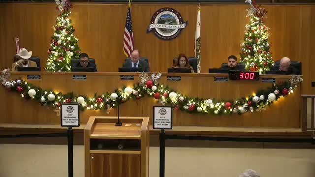
City planning staff and outside consultants presented the public‑review draft of Jurupa Valley’s Citywide Corridors Plan at a joint study session Thursday, saying the plan is intended to guide the appearance, safety and function of the city’s major corridors.
Jean Ward, the city’s principal planner, told the City Council and Planning Commission the project began as a streetscape beautification effort and expanded into a “complete streets” toolkit for pedestrians, bicyclists and equestrians as well as vehicles. Greg Tung of Sargent Town Planning said the plan is implementation‑focused and includes 20% conceptual town‑center plans and cost estimates that staff can use to pursue grant funding.
Tung said the data show a disproportionate share of pedestrian fatalities happen on the corridors: “We learned that 60 percent of all pedestrian fatalities in the city occur on the corridors,” he said, and argued that concentrated safety measures on those segments could reduce serious crashes.
The draft organizes corridors into three types — crosstown, neighborhood‑serving and town‑center segments — and supplies a ‘‘kit of parts’’ designers can apply to different right‑of‑way conditions. Appendices include base maps and analyses, design standards, signage concepts and recommended street tree palettes selected for heat‑tolerant species.
Planning commissioners and council members asked for specifics on traffic calming (lane narrowing, roundabouts and restriping), crosswalk spacing, equestrian accommodations and parking strategies for Pedley Town Center. Staff and consultants said many lane‑narrowing and restriping measures can be implemented within curb‑to‑curb widths to create room for protected bike lanes and more frequent crosswalks, while roundabouts were offered as a location‑specific option.
Commissioners pressed staff on truck‑route overlaps; staff said a separate truck‑route study is scheduled and that any overlap areas would be addressed with targeted outreach and detailed analysis next year. Consultants said the plan will be used to prioritize future CIP projects and to strengthen grant applications.
Staff said they expect to return with a refined plan and an adoption item in the first quarter of 2026 after continued public engagement and coordination with related efforts including town‑center zoning updates and a Santa Ana River master plan.