Lifetime Citizen Portal Access — AI Briefings, Alerts & Unlimited Follows
County presents conceptual Westmoreland Heritage Trailhead; commission weighs zoning and PennDOT tunnel coordination
Loading...
Summary
Westmoreland County and Regional Trail Corporation officials previewed a conceptual trailhead near Industrial Drive and State Route 66, described coordination with PennDOT on a planned tunnel (funded via a 2022 congressional earmark) and discussed zoning, parking and maintenance‑facility siting across municipal boundaries.
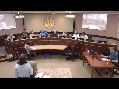
Westmoreland County parks planner Jeff Richards presented a conceptual plan April 14 for a Westmoreland Heritage Trail trailhead at Industrial Drive and State Road 66, a parcel that straddles Murrysville and Salem Township.
Richards said the parcellayout places parking primarily in Murrysville while locating a maintenance facility in Salem Township because of differing zoning and cost burdens. "The rectangle that's outlined in orange... that's the proposed maintenance facility," Richards said, noting that building the maintenance facility in Salem Township would be less expensive and likely simpler from a regulatory standpoint. He added that the plan includes roughly 130 parking spaces, restrooms, a maintenance building and the possibility of a pavilion.
Richards described coordination with PennDOT on a planned tunnel under State Road 66 that the county has advanced through preliminary engineering and that received a congressional earmark appropriated in 2022. He said the project requires a reimbursement agreement between the county and PennDOT and noted the county will use a $773,000 contract with GAI Consultants for preliminary engineering and design work.
Commissioners raised zoning questions (whether to reclassify the Murrysville portion from Business B to Public Lands or rely on conditional uses such as parking), emergency access for ambulances, paving versus gravel parking, and how pavilion uses would be treated under the ordinance. Richards said trail hours would be dawn‑to‑dusk, that gates and access points will be sized for emergency response, and that funding and fundraising remain to be completed.
The presentation was advisory; Richards and his partners said they will continue coordination with PennDOT, the Regional Trail Corporation and both municipalities as the tunnel and trail design progress.