Get Full Government Meeting Transcripts, Videos, & Alerts Forever!
Get email alerts on the Land Use topic
No spam. Unsubscribe anytime.
Montgomery County planners outline safety, bus lanes and housing for University Boulevard corridor
Summary
Planning officials presented a draft University Boulevard Quarter master plan that prioritizes Vision Zero safety measures, extends dedicated bus lanes, and proposes targeted increases in housing density near transit stations while preserving neighborhood transitions and commercial nodes.
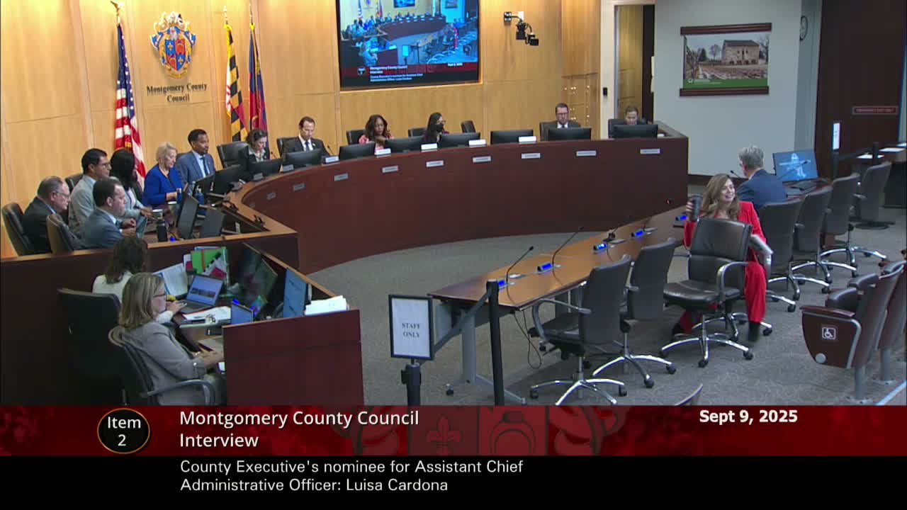
Planning officials briefed the Montgomery County Council on Sept. 9 on a draft University Boulevard Quarter master plan that aims to improve safety, transit service and housing along the busy corridor.
Artie Harris, chair of the Montgomery County Planning Board, said the plan is intended to be a 20‑plus‑year vision that links communities, culture and commerce while emphasizing safety and multimodal travel. Planning Director Jason Sartore and East County Division Chief Carrie Sanders joined Harris and staff to present the draft and answer council questions.
The plan responds to community concern about traffic safety and mobility, the presenters said. Staff noted that from 2015 through 2024 the corridor recorded multiple fatal and severe injury crashes (the presentation cites four fatal crashes and 38 severe injuries in that span) and that nearly 6,000 students travel along the corridor on a typical school day. The draft prioritizes pedestrian protections, leading pedestrian intervals, restrictions on right turns on red where appropriate, wider buffered sidewalks, and tree canopy and “cool corridor” strategies to reduce heat exposure.
The plan recommends extending the red painted bus lanes pilot through the 4‑Corners intersection and keeping dedicated curb‑running bus lanes within the existing curb to curb width where feasible. Staff said the pilot showed a 7% reduction in Metrobus travel time and that ridership on the corridor’s bus routes has grown about 28% since 2019. The briefing emphasized the corridor’s importance to Metrobus lines (C2/C4, rebranded in summer 2025 as M12).
On housing, staff proposed targeted zoning changes that would allow greater housing types and heights near transit stations while stepping down to 35‑foot transitions toward single‑family blocks. Examples in the presentation showed up to about 50 feet near stations, paired with an overlay limiting lot coverage to 35% in many cases to address neighborhood compatibility concerns.
The plan also recommends phased approaches to redevelopment of commercial nodes — for example, the Kemp Veil (Campbell) Shopping Center — so neighborhood retail can operate during transition while providing incentives and programs to retain and attract local businesses, preserve affordable rents and encourage smaller store sizes.
Planning staff described an extensive, multilingual outreach process across three years — more than 10,000 mailings, nearly 40 community meetings, door‑knocking, and a live zoning map so residents could check how recommended rezones might affect specific addresses.
The council’s Planning, Housing and Parks Committee will take up the plan and public hearings are scheduled; staff noted the Zoning Text Amendment that implements parts of the plan will be considered separately after PHP completes the plan review.
The council did not take action on the plan at the briefing; members indicated they will continue committee review and hold the scheduled public hearings in the community.