Get Full Government Meeting Transcripts, Videos, & Alerts Forever!
Get email alerts on the Elections Districting topic
No spam. Unsubscribe anytime.
Huntington Park council opens public hearing on by-district maps and extends deadline for resident submissions
Summary
Demographer from NDC presented four draft district maps and mapping criteria; after public comment the council voted to reopen map submissions and continue the public hearing with a Jan. 16, 2025 deadline to give residents another chance to submit maps.
City demographer consultants from NDC presented the council with four draft maps and the statutory criteria that guide how district boundaries must be drawn, including equal population, Voting Rights Act compliance, contiguity, minimizing division of communities of interest and following identifiable boundaries. The presenter described public participation tools — an online interactive map, a paper "draw your neighborhood" kit and an address-lookup feature — and noted this is the fourth hearing in the process.
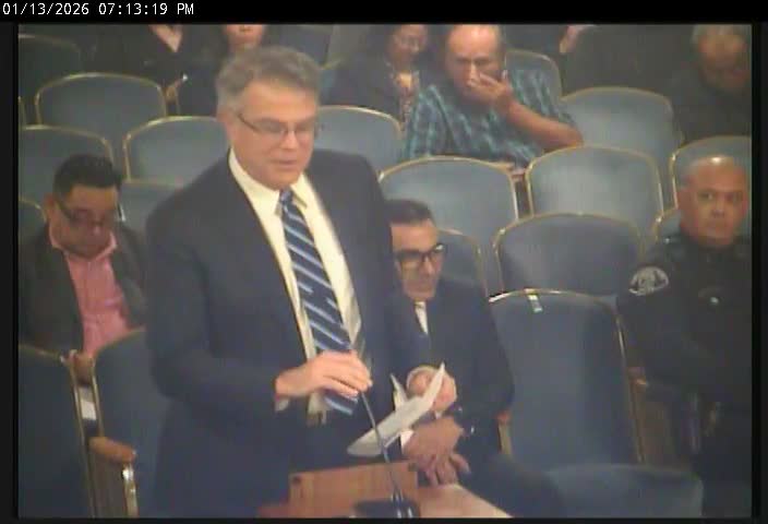
Residents and council members discussed trade-offs between following major streets as clear boundaries and achieving required population balance. One resident testified that district elections would lower costs and increase neighborhood representation; council members noted that only one resident-drawn map had been submitted so far and urged broader participation.
Council members debated process logistics and statutory posting deadlines; the demographer explained maps must be posted seven days in advance of adoption, which constrained the calendar. Council member 9 moved to continue the public hearing and reopen submissions with a deadline of Jan. 16, 2025; the motion was seconded and carried on roll call, clearing the way for staff and the demographer to post revised maps or produce hybrid versions combining elements residents requested.
The decision does not adopt any map tonight; it preserves the council’s ability to adopt one of the four presented maps at a later meeting or ask the demographer to draw new or mixed versions based on resident input. Staff committed to publishing updated map options and clarified the timeline for posting so residents who submit maps can be assured their maps will be available for council consideration.