Get Full Government Meeting Transcripts, Videos, & Alerts Forever!
Get email alerts on the Comprehensive Plan topic
No spam. Unsubscribe anytime.
Staff outlines Advance Addison 2050 plan, council presses for clarity on land‑use data
Summary
Staff presented Advance Addison 2050, a proposed comprehensive plan to guide land use, housing, mobility and implementation through 2050; council questioned methodology behind revised land‑use percentages and asked staff to provide detailed parcel‑level "buildable land" analysis before adoption.
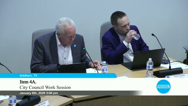
Leslie Nye, Director of Development and Neighborhood Services, presented Advance Addison 2050 at the council work session on Jan. 6, describing the draft as a long‑range advisory document to replace the 2013 comprehensive plan and to guide policy on land use, housing, transportation, economic development and community facilities. The Planning and Zoning Commission earlier unanimously recommended the draft.
Nye said the draft is organized into an introduction, topic chapters and an implementation section that will include an online implementation matrix with action items, champions and timelines. She said the staff is in the adoption phase and plans to maintain an online tracker to update progress “two to four times a year,” with a deeper five‑year evaluation period.
Council members pressed staff about recent changes in the land‑use breakdown. Nye said the most substantial edits were (1) adding the airport as its own category rather than classifying it as commercial, (2) subdividing residential into ownership and rental categories, and (3) removing certain right‑of‑way parcels that previously skewed percentages. Those adjustments, she said, explain why public land rose from about 16% to 17.8% in the new table and why undeveloped land in the residential category increased from 8 acres to 32 acres once all residential product types were included.
Nye described a proposed buildable land inventory — a parcel‑level, layered analysis that would account for infrastructure, easements, drainage, slope and other constraints to produce a reliable estimate of net developable acreage. “From the sky we can identify vacant parcels,” Nye said. “The inventory takes all of those different layers of information and inputs them together and provides us an output” that staff and economic development can use when recruiting developers.
Councilmembers asked for finer detail on the underlying data and for staff to clarify how HOA lots, easements and zoning‑mapped rights‑of‑way were treated. Nye offered to supply a breakdown showing the analytic steps and to return with any requested clarifications. She also noted three relatively limited edits since the Planning & Zoning meeting — citation standardization, the land‑use breakdown update and clerical capitalization fixes — and said staff will post the changes for public review and accept comments ahead of the adoption hearing.
The council did not vote on the plan at the session. Staff said it will return with additional detail on the buildable land inventory, a proposed online implementation tracker and scheduling for the adoption hearing; staff recommended a final adoption date later in the month if no substantial red flags are raised.
What’s next: Staff will provide the parcel‑level methodology and a clearer breakdown that reconciles the consultant and staff analyses; council indicated it wants those details before adopting the final document.