Get Full Government Meeting Transcripts, Videos, & Alerts Forever!
Get email alerts on the Flood Response topic
No spam. Unsubscribe anytime.
Benton City officials show aerial images of flood damage, say mandatory evacuations were not enforceable
Summary
City staff and the sheriff’s office presented aerial photos and videos documenting flooding across Benton City and described a rapid, multiagency response; staff said they alerted residents but were not legally able to order enforced mandatory evacuations for this event.
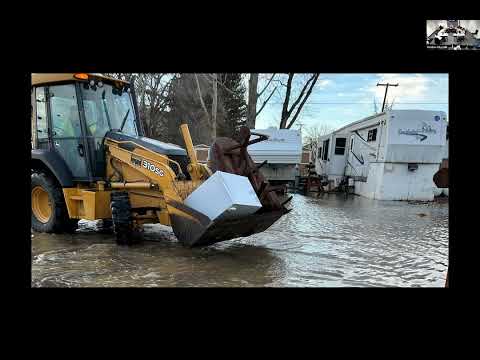
Zach Grindle, the building department official for Benton City, presented hundreds of photos and drone videos to the city council on Dec. 16 that document inundation, debris and erosion from the community’s recent flood.
"We do have about 4 to 500 pictures and videos that we could add on here," Grindle said, walking councilors through aerial imagery showing parks, submerged electrical equipment and floating debris.
Renee Red Clark of the Red County Sheriff’s Office reported November patrol statistics and outlined the department’s flood response. Clark said deputies and K-9 teams were active in the affected neighborhoods and credited city crews and volunteers for rapid on-the-ground assistance.
During Council questions, Grindle said county and city staff initiated notifications and sheriffs personally went door to door, but added that the city was not able to impose enforced mandatory evacuations for the event. "We are not legally allowed to do enforced mandatory evacuation from what I gathered to this event," he said, explaining legal limits on mandatory removal.
Councilors and staff discussed notification channels and data quality for outreach. Several council members urged further public communication; Grindle pointed to the imagery and flow data as a resource to refine trigger levels for future operations.
The presentation included photos of the lower end of San Marco Park at peak flow, evidence of erosion, and instances where residents needed EMS assistance. Councilors praised the multiagency response and noted follow-up work will focus on cleanup, infrastructure restoration and clearer public-notification protocols.