Get Full Government Meeting Transcripts, Videos, & Alerts Forever!
Get email alerts on the Land Use Quarry topic
No spam. Unsubscribe anytime.
Commission accepts Winstead Road quarry application; asks for clearer plans and engineering review
Summary
The Internet Wetland Water Force Commission accepted an application from Winstead Road Realty to resume quarry operations on Tarifford Road, but commissioners required readable plans, cross‑sections, a soils report and referral to the town consulting engineer and P&Z for review.
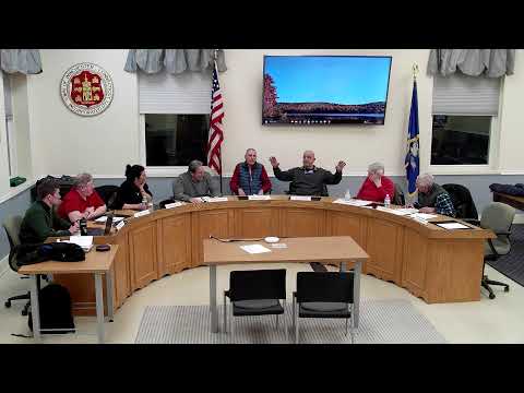
The Internet Wetland Water Force Commission on March 19 accepted an application from Winstead Road Realty to renew quarry operations on a 20‑acre parcel on Tarifford Road, but the commission pressed the applicant for clearer maps, cross‑sections and independent engineering review before work proceeds.
Wesley Clow, the applicant representative, told the commission that the site is the “former P. G. Pepper property” approved for quarrying in 2002 but never fully developed and that the firm is seeking to update the old plan and begin phased excavation. “We...we're just looking to move forward with starting for the operation here,” Clow said, describing a revised sedimentation approach that uses a multi‑chamber basin to capture runoff.
Commissioners raised technical questions about wetland flags, setback distances, grading and how final contours interact with nearby wetlands. One member said: "For the next meeting, it would be great to have plans we can actually read and study." Staff and consultants noted the states stormwater specifications have changed and said the application would be sent to the towns consulting engineer and to the planning and zoning (P&Z) process for a holistic review.
The commission asked for a soils report, enlarged sheets showing scales and grading, cross‑sections of the north and south boundaries and a site visit before final permitting steps. Commissioners and the applicant discussed a long timeline for some later phases—Clow estimated portions that approach wetland areas likely would not be reached for decades, and he emphasized the team proposes permanent wetland markers and 100‑foot setbacks where wetlands are flagged.
After discussion of those conditions, members moved to accept application IWWC‑26‑3 for processing; the motion was approved. The commission's acceptance allows staff to circulate the application to peer reviewers and place the item on subsequent agendas once the requested materials are provided. The commission did not authorize construction beyond the limits discussed and reserved the right to require further engineering and monitoring conditions at permitting.