Get Full Government Meeting Transcripts, Videos, & Alerts Forever!
Get email alerts on the Gis Program topic
No spam. Unsubscribe anytime.
Weslaco officials receive update on expanded GIS for asset management
Summary
At a Nov. 18, 2025 workshop, city staff presented plans to consolidate and expand Weslaco9s geographic information system to track assets such as manholes, valves, hydrants and pavement conditions and to support maintenance, emergency response and grant applications.
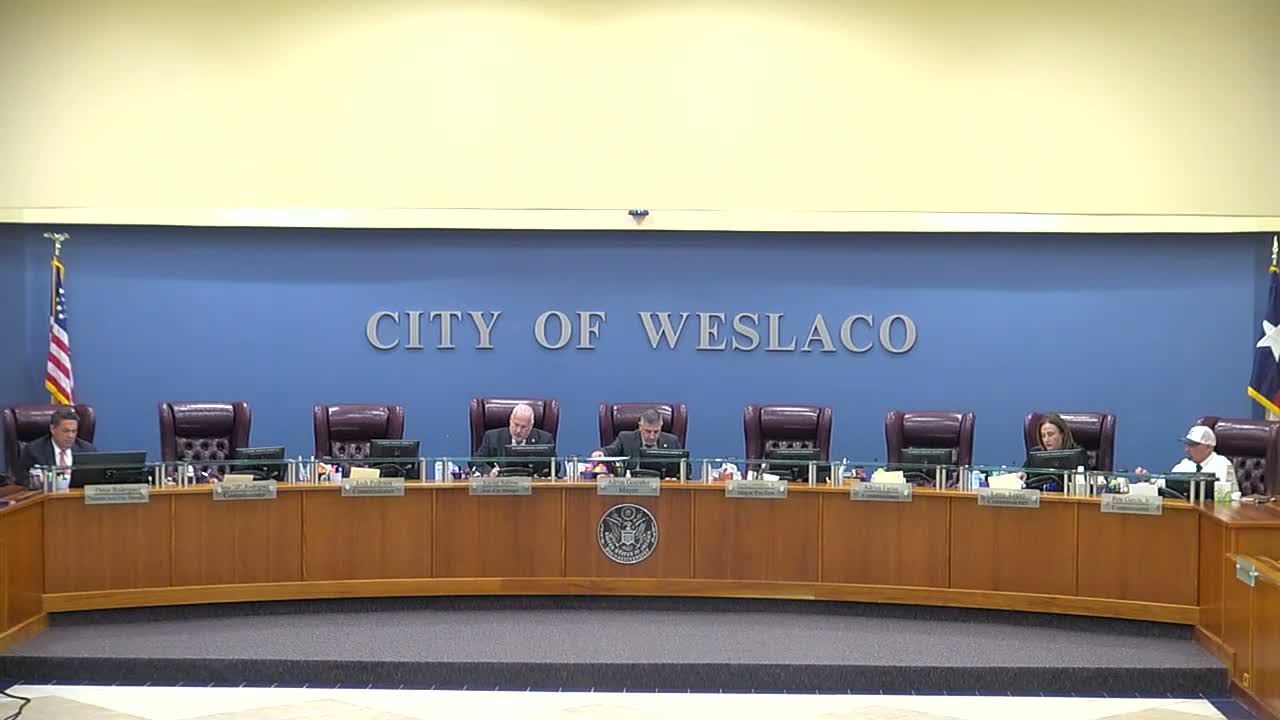
WESLACO, Texas —Nov. 18, 2025 —City staff on Tuesday briefed the Weslaco City Commission on plans to consolidate and expand the municipality9s Geographic Information System to create a single, enterprise dataset for assets and infrastructure.
"GIS is basically a system to capture, store, manipulate, and analyze, and manage any present spatial or geographic data," Peter, the staff presenter, said during the workshop. He told commissioners the city9s growth and ongoing development make a centralized GIS critical for interdepartmental coordination and public transparency.
The presentation showed how maps and dashboards can display individual asset records so staff and residents can click a point on the map to see when an asset was last serviced, its size and other attributes. Peter said the AIMS GIS team is consolidating multiple legacy layers and repeated datasets into one master file so all departments will work from the same information.
Commissioners and staff emphasized operational uses. The system, they said, can help public works and engineering track pavement conditions and prioritize repairs by district, generate work-order lists for valve and hydrant inspections, and provide field crews with GPS locations instead of paper books. "We9re going to be able to provide [field crews] with that help they need," Mayor Gonzales said, adding the data will strengthen future grant applications.
Several commissioners described manholes and gate valves that were not on existing maps —including collapsing manholes found under pavement —and said locating those assets is a priority. Staff said teams will collect missing assets in the field and add them to the consolidated GIS. One staff member noted the city recently moved cemetery plot records from Excel into GIS to show occupied, sold and available graves.
The commission also discussed community reporting. Commissioners raised a previously used app (referred to in the meeting as "My Wesicle") and suggested tools such as QR codes on assets that would create direct work orders. Staff said they are evaluating mobile and QR-code reporting to link resident reports directly into the city's work-order system.
Peter said the consolidation is intended first to serve internal operations and later to make some information public. Because legacy datasets contained duplicates and inconsistent fields, the immediate work is merging and standardizing those layers before adding newly surveyed assets.
The commission asked for a follow-up briefing. Peter said the city expects AIMS to present a contract renewal in January and will return with a more detailed presentation for commissioners to ask technical questions.
The workshop is continuing with an update on a drainage project; the commission later recessed to executive session.