Get Full Government Meeting Transcripts, Videos, & Alerts Forever!
Get email alerts on the Environmental Overlay topic
No spam. Unsubscribe anytime.
Neighbors and planners split over No Name Pond overlay language; board tables the change
Summary
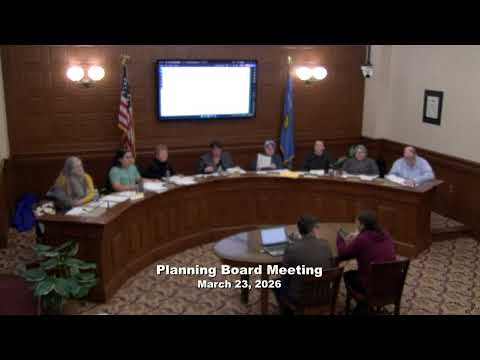
After lengthy public testimony from nearby residents, the Lewiston Planning Board tabled revisions to the No Name Pond overlay to allow staff to rework language and provide additional engineering context; the board set a target of returning the item at the May meeting.
The Lewiston Planning Board paused consideration of proposed changes to the No Name Pond Conservation Overlay after sustained public testimony and board members’ questions about the wording and maps.
Staff presented revised language that would require a 50-foot buffer to development and land-use activities around natural watercourses that discharge directly to the lake, while excluding certain constructed stormwater conveyances and outlets that lead to treatment facilities. Several board members and neighbors said the revised language appeared to exclude man-made drainage features that function as the watershed’s hydrologic system and urged clearer, map-based guidance.
Diane Chasse, a neighbor on No Name Pond Road, said standing water and periodic flooding affect her property and that vegetated buffer strips have long slowed runoff. “When water comes downhill quickly, it does not disappear. It ends up in our yards, in the swale, and eventually in the pond,” she said, urging the board to preserve strong protections.
Lot owner Daniel Berner told the board that earlier subdivision plans showed contours and hydrology that have been simplified on later maps; he said vegetation in the 20-foot strip beside his property is part of the system that filters and slows water. “There is no label, no easement, no right of way, and no maintenance path shown on any version of any plan that I have been able to review,” he said.
Board members said the language was unclear about man-made vs. natural drainage and how the exception for maintenance of stormwater facilities would apply. Several members recommended more technical material from the city stormwater engineer and clearer map-based depictions for neighbors.
The board voted to table the matter for staff to return with clarified language, additional engineering context and outreach with affected neighbors; members targeted the May 11 meeting to reconsider the draft.