Get Full Government Meeting Transcripts, Videos, & Alerts Forever!
Get email alerts on the Land Use topic
No spam. Unsubscribe anytime.
Bedford commission approves final plat for Shumack Lane Estates
Summary
The Bedford Planning and Zoning Commission on Feb. 26 approved a final plat (Plat 25-3) to subdivide 5.651 acres into two single‑family lots, with staff-recommended conditions including a required water-line extension for fire protection; the vote was by voice and the tally was not recorded.
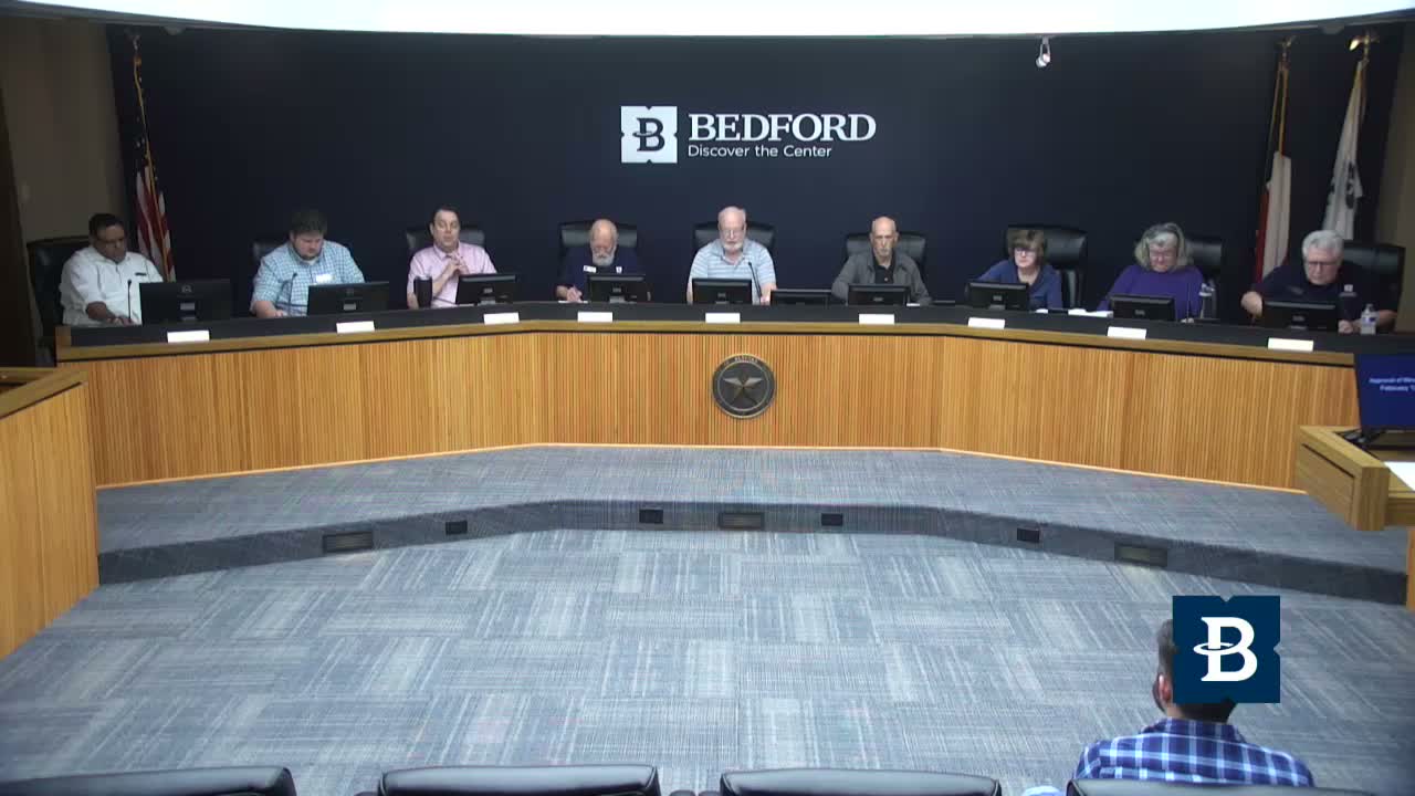
The Bedford Planning and Zoning Commission approved a final plat for Shumack Lane Estates on Feb. 26, 2026, clearing the way to subdivide 5.651 acres into two single‑family lots and approving five staff conditions.
Wes Morris, the city’s chief planner, told commissioners the parcel—identified as Plat 25‑3 and located south of Shumack Lane and Shannon Lane in the JW Shackley survey, abstract 13 90—is heavily wooded and contains a drainage channel shown as floodplain and floodway on city maps. He said the applicant proposes two single‑family lots with shared access from Shannon Lane and that civil plans place the proposed house on the larger lot away from the floodplain. "Staff's recommending approval. It does meet all the zoning and subdivision requirements of the ... Texas local government code," Morris said, explaining that a water‑line extension is required after pressure testing and consultation with the fire department to address water pressure and fire protection needs.
Morris outlined five conditions staff recommended: show an easement for an overhead power line on Lot 1; provide recording information for existing dedicated easements; remove a mistaken note that referenced a "floodplain easement" (staff said the correct designations are drainage easement and floodplain); ensure drain sheets cover the entire creek area; and update the approval block because the project changed from a minor plat to a final plat when the water‑line extension became necessary.
Commissioners pressed staff about the site's history. One commissioner recalled a prior preliminary plat that did not advance amid neighborhood opposition and floodplain concerns; Morris said a previous preliminary configuration had failed to account for the floodplain and therefore did not move beyond that stage. Commissioner Roger Galenstien asked whether the creek was active; Morris replied the creek typically carries water even in dry months and reiterated that the city’s engineers reviewed the plans and found they met local standards, and that no work is proposed in the floodplain or floodway.
Commissioner Dorothy Crawford moved to approve Plat 25‑3 with the conditions presented by staff; the motion was seconded and the commission approved the plat by voice vote. The transcript does not record a roll‑call tally. After the vote the commission had no further business and adjourned at 6:12 p.m.
The approval permits the applicant to proceed toward final plat recordation subject to the listed conditions; the water‑line extension noted by staff will be required before final acceptance, and staff will ensure the plat text and easement references are corrected prior to recordation.