Get Full Government Meeting Transcripts, Videos, & Alerts Forever!
Get email alerts on the Street Naming topic
No spam. Unsubscribe anytime.
Northlake council narrows Cleveland Gibbs street‑name changes after public hearing; action limited to sections north to a ‘red dot’
Summary
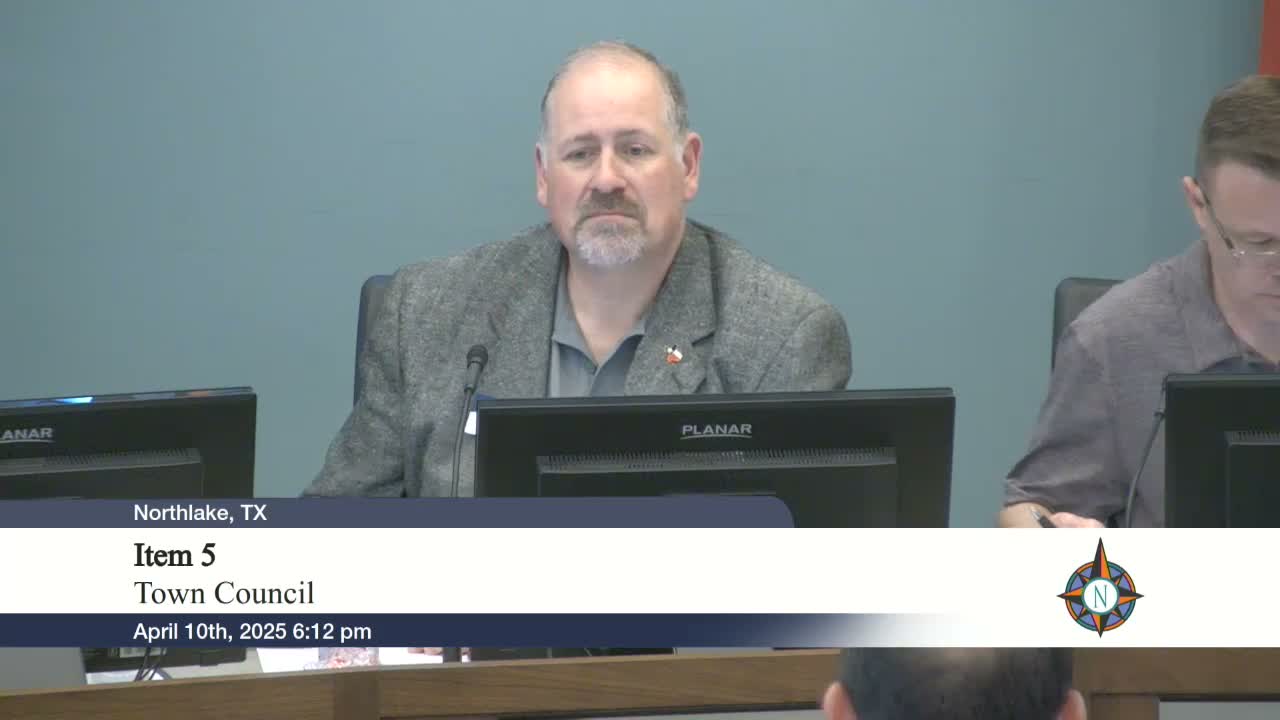
After a lengthy public hearing, the NorthlakeTown Council voted 5–2 to rename portions of Cleveland Gibbs Road — approving Gibbs Road on the west side of 35W and Cleveland Road on the east up to an agreed‑upon 'red dot' — and deferred further changes for additional notice and mapping.
Northlake’s council on April 10 approved partial street‑name changes to sections of Cleveland Gibbs Road after a public hearing in which residents urged clearer maps and urged limiting address impacts.
The council voted 5–2 to accept staff’s renaming plan for the portions already noticed: the stretch from Robeson Ranch Road to Mulkey will be named Gibbs Road, and the corridor on the other side of the highway down to an internally identified “red dot” will be named Cleveland. Elected officials said they deferred action on the remaining segments — including proposed changes south of the red dot and a section touching Dale Earnhardt Way — to allow staff to provide more detailed mapping and to ensure affected property owners receive required notice.
The proposal, presented by town planning staff, grows out of the town’s master thoroughfare plan and new alignments tied to a 35W bridge project. Staff said the roadway will eventually separate into distinct alignments that make maintaining the single name Cleveland Gibbs confusing for navigation and emergency response. Planning staff noted some developers already used ‘Gibbs’ on plats and signs in anticipation of the change.
Residents who live on small existing segments urged the council to consider different options. “It just seems a little confusing to me,” said Christine Fowler, a Northlake resident who lives on the segment near Sam Lee, urging clearer maps and proposing alternatives that would preserve certain stretches as Cleveland Gibbs to reduce address changes for neighbors. Joel McGregor and other commenters echoed concerns about address impacts and urged practical solutions.
Council discussion focused on tradeoffs between historic names (Cleveland and Gibbs were described as family homestead names in the area), operational safety for emergency responders, and avoiding repeated sign changes once TxDOT and other agencies finalize ramp and exit signage. Several members proposed a phased approach: approve the sections already properly noticed and give staff time to prepare blown‑up satellite maps, overlay master‑plan alignments, and return with a recommendation for the remaining sections.
Mayor (speaker 1) and planning staff emphasized the procedural limits: portions not included in the public notice could not be voted on that night. Staff estimated roughly 40–50 property owners or businesses would be directly affected by the changes that were noticed; residents at Northlake Village may number higher, staff said, and the town will coordinate with Denton County and Fort Worth as needed.
The council instructed staff to distribute detailed maps to members, provide updated satellite imagery and overlays for the next meeting, and solicit written markups from residents. The council said it will revisit the south/red‑dot sections after additional outreach and formal notice procedures.
Next steps: staff will publish enlarged maps and the town will mail notice to affected property owners before the council considers additional name changes; coordination with county addressing agencies and TxDOT on exit signage will continue.