Get Full Government Meeting Transcripts, Videos, & Alerts Forever!
Get email alerts on the Gis topic
No spam. Unsubscribe anytime.
Board approves three‑year GIS account consolidation to share mapping resources with partners
Summary
County GIS director proposed merging two GIS accounts into one shared county account to expand capabilities and prorate costs among partners; the board approved a three‑year on‑premises agreement and expected partner reimbursements, with possible future open‑data plans.
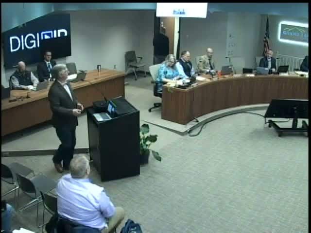
Jim Baker, director of equalization and GIS, asked the board to approve combining two GIS accounts into a single larger account to improve shared tools and image‑server capacity. Baker said the road commission and other partners have agreed to cost‑sharing; the three‑year on‑premises agreement will be prorated among participating entities and the county will seek reimbursements for already‑paid smaller agreements.
Commissioners asked how the county's share would be computed; Baker said partners were asked to prorate costs according to likely usage and that the road commission voted to participate. IT staff cautioned that certain GIS workloads do not perform well in the cloud and recommended an on‑premises solution for the near term. Baker also said he will later ask the board to consider making GIS data public‑facing as an open source resource.
The board approved the three‑year consolidation and cost‑sharing approach by roll‑call vote.