Get Full Government Meeting Transcripts, Videos, & Alerts Forever!
Get email alerts on the Street Classification Links topic
No spam. Unsubscribe anytime.
OLO report urges Montgomery County to link master-plan pages to live street-classification maps
Summary
A joint Montgomery County committee heard an OLO report recommending that area master plan webpages include direct links to live street-classification tools so residents can see current designations; Planning staff said implementation has begun and a follow-up in the PHP committee was suggested.
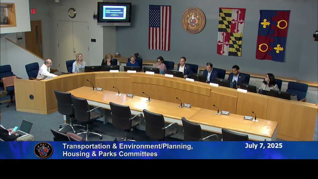
A joint committee of Montgomery County council members reviewed an Office of Legislative Oversight (OLO) report on July 7 that recommends adding direct links from area master plan webpages to the county’s live street-classification tools so residents can see current, authoritative designations.
The report, commissioned by Council Member Luedtke, highlights confusion that arises when newer functional plans amend older, static master plan documents without clear notice. "The functional master plans each modify one another and the latest plan governs," the OLO presenter said, describing how the Pedestrian Master Plan expanded town center designations and amended other plans.
David Anspacher, chief of the Transportation Planning Division at Montgomery Planning, said the department has begun implementing the report’s recommendations. "We have begun to implement to add links on our neighborhood planning web pages, for street classification, for the bikeway recommendations, and for development review," Anspacher said, adding that a Planning Department website reorganization completed July 1 delayed earlier work but that staff will resume the updates immediately.
Committee members said the change would make it easier for residents and property owners to determine what rules or uses apply to a given street. Council Member Friedson asked that the item return to the Planning, Housing and Parks (PHP) Committee for a detailed follow-up on operational implementation and how the task would fit into the department work program.
The OLO report notes that the county’s 2022 code amendments established interim area types and 18 street classifications and created a crosswalk from prior classifications; the Pedestrian Master Plan (approved in October 2023) further revised area designations and increased the number of town center locations cited in county materials. Committee members said that, without clearer links, users reading older area master plan webpages may not see how later plans amended those documents.
Several members asked how zoning text amendments (ZTAs) could interact with street classifications. Planning staff said ZTAs primarily change the rules for a zone and are typically tangential to classification changes, while sectional map amendments implement the master plan. Anspacher said that where ZTA criteria reference street types, users will need to consult the county’s street-classification map (MC Atlas) to know whether a particular parcel meets those criteria.
On the question of speed limits, Anspacher clarified that master plans set "target speeds" as a planning vision but do not set posted speed limits. "Master plans do not establish posted speed limits," he said, noting posted limits are set by the Montgomery County Department of Transportation for county roads and the State Highway Administration for state highways.
Council Member Luedtke asked that, beyond links, Planning produce plain-language infographics or FAQs to help residents understand the amendment process and spot what has changed on a master plan page. The committee indicated support for a "one-stop shop" approach so residents would not have to cross-reference multiple documents to find current street classifications.
The committee agreed to follow up in the Planning, Housing and Parks Committee to discuss implementation details and the department’s work program. No formal motion or vote was recorded during the joint session.
The meeting closed with chairs thanking staff and agreeing to continue coordination on website updates and public-facing materials.