Get Full Government Meeting Transcripts, Videos, & Alerts Forever!
Get email alerts on the EIR And Biology topic
No spam. Unsubscribe anytime.
Residents and scientists tell Oakland panel biological monitoring promised in EIR hasn’t been done
Summary
Public commenters and a former state biologist told the commission that required biological monitoring in the EIR is missing at many sites, and urged hiring professional biologists and reviewing existing species maps before clearing vegetation.
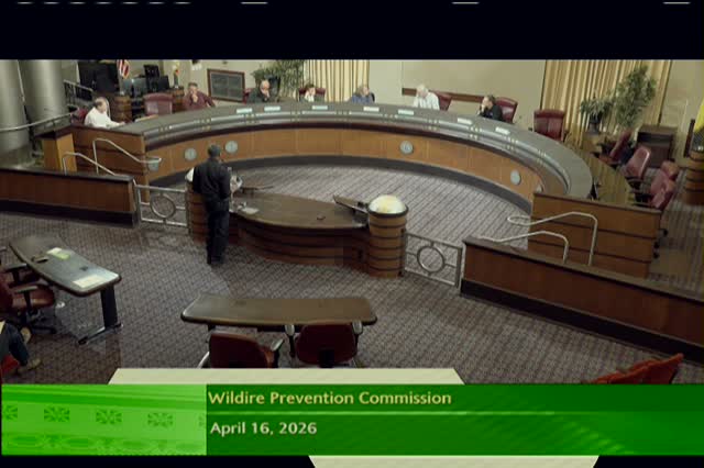
Members of the public and subject‑matter experts told the Oakland Wildfire Prevention Commission on April 16 that key mitigation measures in the vegetation management EIR have not been implemented and that the city lacks site‑scale biological monitoring.
Ralph Canz, who said he filed a public‑records request, told the commission he received a reply that no biological monitoring records exist for required mitigation measures. "There weren't any. They hadn't done it," Canz said, urging the city to hire biologists who can use the California Natural Diversity Database and previously produced shapefiles to locate special‑status plant populations.
Commissioners and staff responded with two points: first, some park‑by‑park vegetation management plans exist and should be made available; second, databases such as the CNDDB are not always useful at a project scale and site surveys by biologists are often necessary. One commissioner said the CNDDB is typically anonymized and not accurate at the parcel level.
A commissioner corrected a public claim about the federal Endangered Species Act, saying the Act's plant protections generally apply to federal actions or on federal land; local projects typically trigger federal ESA obligations only when federal permits or federal funding are involved.
Commissioners asked staff to search for prior maps and shapefiles identifying sensitive populations, to consult planning and real estate about leases and mitigation obligations on city‑owned leased lands (zoo, Chabot, Oakland Hills Tennis Club, Sunrise Assisted Living), and to request an update on whether mitigation measures listed in the EIR are actually being implemented.
Next steps: staff will ask Public Works and planning staff to locate prior habitat maps and return with a timeline and evidence of monitoring or mitigation where applicable; the commission added lease‑review and mitigation enforcement to future agendas.