Get Full Government Meeting Transcripts, Videos, & Alerts Forever!
Audit finds 117 misaligned special-assessment records; staff recommends validation, reconciliations
Summary
A city management analyst reported that parcel-coordinate mismatches between CityWorks and Jackson County GIS led to 117 mislinked special-assessment records out of 4,438; staff recommended front-door validation, recurring reconciliations, a quick-reference policy for fee corrections and a cross-department governance group.
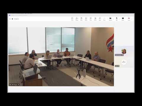
A management analyst told the Independence Finance Committee that a review of the city's special-assessment process found parcel misalignments that have caused incorrect billings to property owners.
"Out of the 4,438 special assessments in the city, there were 117 misaligned, which is 2.6%," Andrew said, summarizing the scope of the problem. He described how CityWorks, the city's case-management software, links to Jackson County's GIS parcel data and how recent county GIS updates shifted parcel geometry, producing incorrectly linked assessments.
Andrew walked the committee through the enforcement workflow that leads to special assessments: code…
Already have an account? Log in
Subscribe to keep reading
Unlock the rest of this article — and every article on Citizen Portal.
- Unlimited articles
- AI-powered breakdowns of topics, speakers, decisions, and budgets
- Instant alerts when your location has a new meeting
- Follow topics and more locations
- 1,000 AI Insights / month, plus AI Chat