Get Full Government Meeting Transcripts, Videos, & Alerts Forever!
Ivins council delays adopting state wildfire map, orders public work session
Summary
After a lengthy discussion about competing wildfire risk maps and potential homeowner impacts, the Ivins City Council voted to delay adopting a state Wildland‑Urban Interface map and requested a work session with state map authors and staff to answer resident questions.
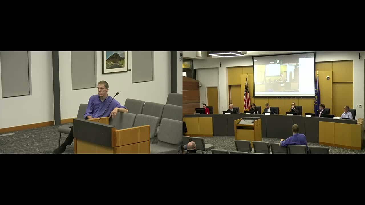
The Ivins City Council spent more than an hour debating whether to adopt the state’s wildland‑urban interface (WUI) map and how to reconcile it with a city‑drawn map that would determine which properties face stricter building standards.
Chief Kavir, the city’s fire chief, told the council that the 2006 WUI code requires a municipality to declare interface areas and that the state has produced a new map showing the “high risk” areas across Utah. He said the county will use the state map to notify residents about inspections, and that the city’s decision about what map to adopt affects new construction standards…
Already have an account? Log in
Subscribe to keep reading
Unlock the rest of this article — and every article on Citizen Portal.
- Unlimited articles
- AI-powered breakdowns of topics, speakers, decisions, and budgets
- Instant alerts when your location has a new meeting
- Follow topics and more locations
- 1,000 AI Insights / month, plus AI Chat