Get Full Government Meeting Transcripts, Videos, & Alerts Forever!
Get email alerts on the Transportation Cip topic
No spam. Unsubscribe anytime.
Manatee County joint workshop spotlights road reclassifications, LOS debate and tight CIP funding
Summary
At a May 6 joint work session, staff presented proposed thoroughfare map changes and a five‑year CIP update; commissioners and planning commissioners debated using level‑of‑service metrics versus multimodal measures and pressed staff on funding and project prioritization.
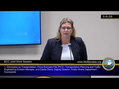
MANATEE COUNTY — Manatee County staff on May 6 walked the Board of County Commissioners and the Planning Commission through proposed changes to the county’s future thoroughfare map, new context‑classification maps to guide multimodal design, and the capital improvement program’s (CIP) priorities — sparking a sustained debate about metrics, money and how fast the county can build roads.
Nicole Knapp, director of Development Services, opened the joint work session by saying the Planning Commission requested the meeting to review transportation elements and to later schedule a related stormwater workshop. Transportation planning staff began with an overview of the circulation plan and level‑of‑service (LOS) tables used to classify roads as arterials, collectors and other types.
Paul Nibonefields, transportation planning division manager, told the boards that Manatee County maintains about 417 miles of county‑maintained roads and that roughly 6 miles — about 1% — are currently rated deficient; adding FDOT‑maintained segments raises the countywide share of deficient miles to about 10% today. He explained the county’s approach to capacity reservation (reserve trips) and how projected, approved-but-not‑built development would increase future deficiencies unless the CIP or other mitigation measures keep pace.
"When the county approves an application, you need to reserve the trip," Paul Nibonefields said, explaining how the reservation system changes projected level‑of‑service calculations for a link.
Staff also proposed map changes intended to align local planning with FDOT’s context classification. The packet includes a number of edits the board was shown in the Map 5 series, including a staff proposal to reclassify Buckeye Road from collector to a minor arterial and to designate parts of University Parkway as a principal arterial to reflect observed and expected traffic volumes.
Deputy Director Clark Davis summarized how the CIP is structured as a rolling five‑year program and emphasized the program’s prioritization tiers — maintain assets first, correct existing deficiencies next, and then fund proactive build‑outs. "Our capital improvement program is a five‑year schedule of infrastructure projects," Davis said, noting the program ties land‑use growth expectations to funding programs such as impact fees, surtaxes, bonds and appropriations.
Commissioners and planning commissioners pressed staff on two central themes: (1) whether LOS remains the right metric and if the county should instead emphasize multimodal quality metrics or vehicle‑miles‑traveled; and (2) how the county will pay for the projects the plan shows.
One commissioner said LOS can incentivize wider, less safe roads and argued for safety and people‑modes metrics instead of relying chiefly on LOS. Other board members urged pragmatic steps: identifying pinch points (such as Rye Road), prioritizing intersection and safety improvements that cost less than full widening projects, and bringing refined project business cases forward for CIP consideration.
Staff identified approximately 100 road segments showing emerging capacity risk in long‑range modeling and noted about 50 of those are county roads. Rye Road and portions of University Parkway were highlighted as locations where business cases for CIP funding may be warranted.
On funding, commissioners and staff acknowledged constraints: impact fees are limited by state rules and subject to an ongoing legal challenge; many reserves are legally or functionally dedicated (for utilities, libraries, stormwater, etc.), and large projects compete with routine resurfacing and maintenance. Staff said they are expanding pavement‑condition data collection and expect an initial vendor briefing on that effort in late summer.
Members of the public during the comment period urged moving away from LOS as the only measurement and supported context classification and multimodal investments. One resident, Matthew Monroe, told the boards that evidence shows widening roads alone does not solve congestion and urged investment in multimodal corridors.
No formal decisions or votes occurred; the session concluded with direction to coordinate a joint stormwater workshop and to continue refining the CIP candidate list and supporting data ahead of the fall CIP hearings.
What’s next: staff plans further data briefings this summer, continued work on the comprehensive plan maps, and formal CIP hearings later in the budget cycle (staff referenced September hearings for CIP adoption follow‑up).