Get Full Government Meeting Transcripts, Videos, & Alerts Forever!
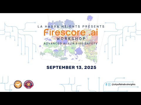
La Habra Heights officials and residents weigh AI fuels‑mapping pilot to target brush clearance
Summary
Fire Marshal Ryan Jorgensson and representatives from Firecore AI proposed a pilot to map vegetation and fuels at meter scale using satellite imagery, drone calibration and AI to help prioritize brush clearance and meet upcoming state rules. Residents pressed for privacy safeguards, insurance impacts and a demonstration simulation.
Fire Marshal Ryan Jorgensson urged the La Habra Heights community to consider a small pilot of new AI‑driven fuels mapping to help the city focus limited brush‑clearance dollars and improve wildfire preparedness. “I am the fire marshal, essentially the chief of community risk reduction here with the La Habra Heights Fire Department,” Jorgensson said, framing the proposal as a response to an overwhelmed inspection program.
Representatives from Firecore AI described how higher‑resolution satellite imagery combined with machine learning can produce meter‑scale maps of vegetation and fuels around houses and roadways. “We actually take those 10‑meter pixels and we divide them up into 100 one‑meter pixels,” Alex, a company representative, said, explaining the technical step that gives communities more detailed fuel…
Already have an account? Log in
Subscribe to keep reading
Unlock the rest of this article — and every article on Citizen Portal.
- Unlimited articles
- AI-powered breakdowns of topics, speakers, decisions, and budgets
- Instant alerts when your location has a new meeting
- Follow topics and more locations
- 1,000 AI Insights / month, plus AI Chat