Get Full Government Meeting Transcripts, Videos, & Alerts Forever!
Get email alerts on the Flooding Stormwater topic
No spam. Unsubscribe anytime.
Municipal leaders urge coordinated flood planning as FEMA remaps Montgomery County floodplains
Summary
Municipal officials asked the county for coordinated flood planning after council members and staff reported 39 floods in the prior year and warned that FEMA's remapping will place additional properties in the floodplain, potentially increasing flood-insurance requirements.
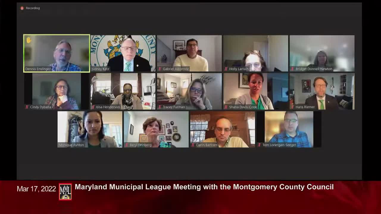
Municipal leaders at Montgomery County's annual meeting with the Maryland Municipal League pressed county officials for a coordinated approach to flood planning as the county prepares for updated FEMA floodplain maps.
"FEMA is currently redoing up all the flood plain maps for Montgomery County," Dennis said, warning that more properties may be newly mapped into the floodplain and therefore could be required to purchase flood insurance.
Council President Gabriel Gurnos and other council members said flooding and stormwater infrastructure are top priorities. Gurnos described local casework in which a town organized a walking tour with county agencies to diagnose chronic flooding and produce concrete follow-up steps. Hans (introduced as Council Member Riemer) said an OLO study of stormwater is underway and the recommended county budget includes increased funding for additional storm-drain infrastructure.
Several municipal leaders said local efforts (surveys, incident reporting and small reimbursement programs) are helping them gather data about where flooding is occurring, but speakers said FEMA's model-based maps will not automatically reflect incidental reports unless formal data are submitted.
Why it matters: Updated FEMA flood maps can change property insurance requirements and affect municipal planning, financing and development. Municipal leaders urged a coordinated countywide outreach and shared language for resident notifications to reduce confusion when maps are finalized.
Next steps: Officials recommended municipalities provide data to FEMA where site changes have occurred, continue local surveys and consider joint letters or coordinated notification strategies once FEMA finalizes the maps.