Get Full Government Meeting Transcripts, Videos, & Alerts Forever!
Get email alerts on the Multimodal Transportation topic
No spam. Unsubscribe anytime.
Bakersfield officials outline multimodal corridor projects to boost student safety
Summary
City of Bakersfield officials described planned multimodal and Complete Streets work — including a phased overhaul of the 4.5-mile Monitor Street corridor and lessons from a Niles–Monterey demonstration — and urged residents to use the CitySource app to request traffic‑calming improvements.
Bakersfield public works leaders described a series of planned multimodal street projects and outreach efforts intended to make it easier and safer for students and residents to walk, bike and take transit.
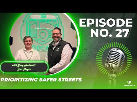
On the Something Better podcast, Zach Meyer, the city's public works director, said parents want to "feel like their kids can safely get from their house to school, whether it's by walking or biking," and officials are prioritizing corridors that serve many schools.
Assistant City Manager Gary Hallen said the city has been focusing on multimodal projects "the last 3 or 4 years" and pointed to Monitor Street as the largest corridor effort planned. "That that's, I I believe it's 4 and a half miles of of roadway," Hallen said, adding the project will likely be divided into phases rather than built as a single contract.
City staff described how demonstration projects on Niles and Monterey informed design choices. Meyer said the city experimented with placing parking away from the curb and putting protected bike lanes behind parked cars, but that configuration "did create a lot of confusion," requiring additional ground markings. The city also tested rubberized, bolt‑down devices intended to emulate bulb‑outs; those temporary devices were repeatedly damaged, prompting staff to favor permanent concrete bulb‑outs in future work.
Officials emphasized community outreach as a planning driver. Meyer and Hallen said the city held an open house at Golden Valley High School and worked with a partner, Blue Zones, to gather neighbor feedback from areas directly affected by parking and lane changes. "The more outreach we did, the more we learned," Hallen said.
Staff also described how residents can request improvements. Meyer said people can submit requests through the Public Works website or by calling the general Public Works line, but recommended the CitySource app as the easiest option for reporting potholes, graffiti and traffic‑calming needs. "Some of that stuff's already identified, but even if there's just a general ticket somebody can make…where do you think there should be a crosswalk," Meyer said, noting the department uses an interactive map of requests to find hotspots that may warrant larger projects.
City staff said project selection is reviewed under the city's Complete Streets ordinance; when elements cannot be added because of space or existing geometry, staff document the reasons and prioritize what makes the most sense for each location.
Officials did not announce construction dates or funding sources for Monitor Street or the Niles–Monterey upgrades and urged residents to follow Public Works announcements for project timelines and next public meetings.