Get Full Government Meeting Transcripts, Videos, & Alerts Forever!
Get email alerts on the Annexation topic
No spam. Unsubscribe anytime.
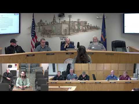
Rathdrum council approves Thomas Meyer annexation after debate over parks, traffic and water
Summary
The Rathdrum City Council approved the Thomas Meyer 2026 annexation, adding a roughly 39-acre enclave to the city with an R2A residential zoning request and a developer pledge to donate about 21 acres as park/open space. Council approved the annexation with planning-and-zoning conditions and required traffic and water studies to be completed at subdivision/platting.
The Rathdrum City Council voted to accept the Thomas Meyer 2026 annexation after a public hearing that drew more than a dozen residents expressing concerns about traffic, utility easements and water pressure.
The applicant’s agent, Drew Ditman of Lake City Engineering, described the proposal as a roughly 39‑acre enclave request and asked the council to approve an R2A medium‑density residential zoning designation. Ditman said water and sewer mains are stubbed to the property and that the developer would dedicate about 21 acres — roughly half the annexation — to the city as park and open space, including a proposed 3‑acre neighborhood park in the northwest corner. “We’re here tonight to talk about a 39‑acre annexation request,” Ditman said in his presentation.
Why it matters: the donation and the parcel’s position inside a large utility corridor were central to the debate. Supporters said the gift enlarges the city’s trail and park network; opponents said most donated acreage lies under high‑voltage and pipeline easements that limit active park uses and argued that the neighborhood would still face increased traffic on narrow local streets.
A range of technical points were reviewed. Staff noted that planning and zoning recommended approval with conditions and pointed to memos from public works and Northern Lakes Fire Protection District that list standard conditions: no access to Highway 41 unless ITD permits it, water/sewer extension requirements, and fire/dedication conditions. In council discussion staff and the city engineer said there is capacity in the system for the development at this time but emphasized the need for a traffic impact study and additional water‑system work at subdivision.
Opponents and neighbors voiced multiple concerns. Residents pressed the council to require a second entrance, questioned whether the public notice and amended applicant narrative were clear about which parts of the parcel would remain developable, and said routing future neighborhood traffic through Ferguson, Split Rail and Farmstead would reduce neighborhood safety and quality of life. One resident said the park area, located under power and gas easements, would not be attractive or usable for families.
Council action and conditions: Councilmember Larry Sanders moved to accept the annexation with planning‑and‑zoning recommendations and add conditions requiring a traffic study and a water study (to be completed before subdivision approval), and to seek ITD review for any Highway‑41 access. The motion, as reflected in the record, also instructed staff to include triggering mechanisms in the annexation agreement so park improvements or irrigation would be required only when development is plated. After deliberation the motion passed on a roll call (councilmember John Hoskins recorded a dissenting vote).
What’s next: Council approval annexes the land into the city but does not approve a subdivision or construction plan. The studies council required — a traffic impact study and a water capacity/study at subdivision — are the next regulatory steps before lots or streets are approved. The applicant said any final subdivision layout will show road widening (Ferguson) and pedestrian connections and that it expects to bring a subdivision plat forward in a later hearing.
Editors’ note: packet materials available to the council included an applicant narrative and staff memos. Staff and the applicant described the site acreage differently on the record (one presentation referenced roughly 28.75–29 acres in materials; the applicant’s presentation referenced 39 acres). That discrepancy was discussed publicly during the hearing and appears in the meeting record.