Get Full Government Meeting Transcripts, Videos, & Alerts Forever!
Santa Paula branch trail shifted to south side between Pettit and Satakoy to avoid costly retaining walls, team says
Summary
Project designers told residents they moved the proposed trail from the north to the south side between Pettit and Satakoy to reduce retaining-wall and utility costs; the change adds a bridge but lowers overall project cost and reduces property impacts. Design is expected to finish this year and construction to start in 2026.
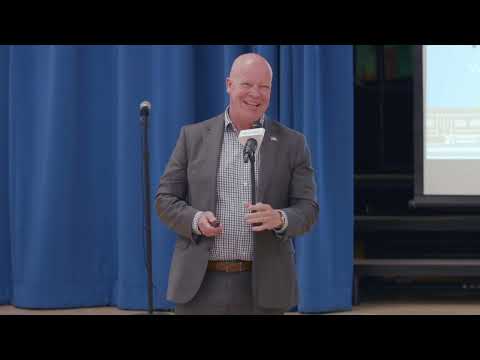
Alex Puga, senior transportation engineer for the City of San Buenaventura, and the project design team told attendees at the sixth public meeting that the Santa Paula branch line trail alignment has been moved from the north to the south side between Pettit and Satakoy to avoid expensive retaining walls and utility conflicts.
The switch "saved a lot of that money," Eric Berg of Pacific Coast Land Design said, noting that while the south-side alignment requires a second bridge, it is still less expensive than building an extended retaining wall across…
Already have an account? Log in
Subscribe to keep reading
Unlock the rest of this article — and every article on Citizen Portal.
- Unlimited articles
- AI-powered breakdowns of topics, speakers, decisions, and budgets
- Instant alerts when your location has a new meeting
- Follow topics and more locations
- 1,000 AI Insights / month, plus AI Chat