Get Full Government Meeting Transcripts, Videos, & Alerts Forever!
Get email alerts on the Alignment Change topic
No spam. Unsubscribe anytime.
Santa Paula branch trail shifted to south side between Pettit and Satakoy to avoid costly retaining walls, team says
Summary
Project designers told residents they moved the proposed trail from the north to the south side between Pettit and Satakoy to reduce retaining-wall and utility costs; the change adds a bridge but lowers overall project cost and reduces property impacts. Design is expected to finish this year and construction to start in 2026.
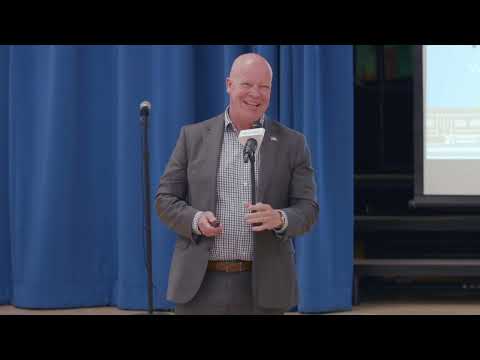
Alex Puga, senior transportation engineer for the City of San Buenaventura, and the project design team told attendees at the sixth public meeting that the Santa Paula branch line trail alignment has been moved from the north to the south side between Pettit and Satakoy to avoid expensive retaining walls and utility conflicts.
The switch "saved a lot of that money," Eric Berg of Pacific Coast Land Design said, noting that while the south-side alignment requires a second bridge, it is still less expensive than building an extended retaining wall across difficult soils on the north side. Berg added that the south side has fewer yard trees and fewer property-wall impacts, reducing construction disturbances to neighbors.
Why it matters: The change alters how the project interacts with adjacent private properties and utilities and reduces a major cost driver identified during engineering review. Berg said sight‑line and lighting studies were carried out to limit visual and privacy impacts for nearby homes and that the team will use house‑side shields on trail lighting to minimize glare.
Funding and schedule: Martin Ericson, executive director of the Ventura County Transportation Commission, reiterated that VCTC owns the rail right‑of‑way and that the city combined state and federal grants with $20 million from a Solutions for Congested Corridors award to fund the project. Eric Berg said the plans have reached roughly a 60% milestone and the team is nearing 90% design; the project is slated for final design later this year, bidding next year and construction in 2026 through mid‑2027.
Community impacts and mitigation: Project staff said moving the alignment reduces the need for extensive grading and utility relocations on the north side. The team emphasized design mitigation measures—sight‑line analysis, lighting shields and limited grading—to reduce effects on private property and maintain public safety near residential areas.
Next steps: The project will go to city council this summer for review, and plan sets shown at the meeting are available on the project website and at meeting tables for attendees to review. The city encouraged residents with specific property concerns to follow up with staff after the meeting.