Get Full Government Meeting Transcripts, Videos, & Alerts Forever!
Get email alerts on the East Greeley Subarea Plan topic
No spam. Unsubscribe anytime.
Greeley council reviews East Greeley subarea plan; planners cite housing, roads and agricultural preservation as top priorities
Summary
City planners presented early findings from outreach for the East Greeley Subarea Plan, highlighting streets and roads, job opportunities and housing affordability as the top three concerns from 620 survey responses. Concepts shown include a Campus Town gateway, neighborhood hubs, and agricultural‑preservation zones.
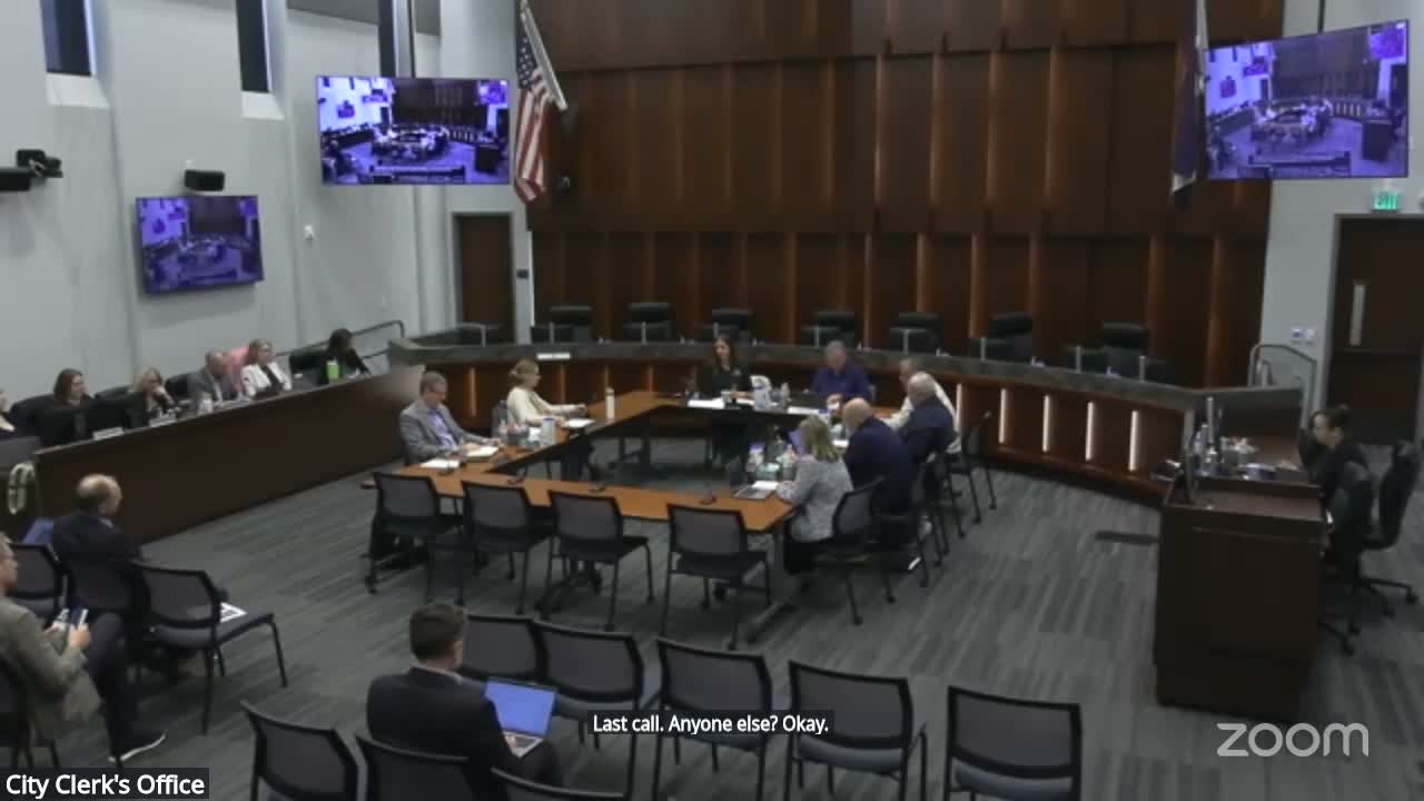
City planning staff and consultants presented early findings and concept diagrams for the East Greeley Subarea Plan at the Greeley City Council work session on April 2026. Doug May, a planner for the city of Greeley, said the first public survey produced 620 contributions and bilingual outreach, and that the top community priorities were streets and roads, economic development and housing affordability.
Bridal Palmer, project manager with the consultant team, walked council through concept sketches including a southern “Campus Town” gateway adjacent to 85 Business, neighborhood hubs at intersections such as 1st Avenue and 22nd Street, and an agricultural‑preservation band north of Highway 392. Palmer said the Campus Town concept includes a greenway on an existing wide right‑of‑way, mixed housing types and multimodal connections that could be coordinated with Colorado Department of Transportation on interchange work.
Don Threbert of Community Development emphasized that outreach reached long‑time farmers and that agricultural tourism and historic‑preservation elements were repeatedly raised. Planners said the bubble‑diagram land‑use approach covers roughly 25–27 square miles, with about 40% north of the Poudre River, and that some areas are being considered for mixed‑use, industrial, or energy uses depending on site constraints such as flight paths near the airport.
Council members asked about quick wins and funding. One council member pressed for clarification on the Western Sugar TIF boundaries and available balances; staff said they did not have the precise account balance in the meeting but characterized the district as one of the more successful revenue collectors. On multimodal crossings over Highway 85, staff estimated an enhanced pedestrian overpass could cost roughly $10–$20 million depending on design and enhancements.
Planners said the next steps include a second round of public engagement this summer to test alternatives and refine land‑use options, with a draft plan expected for phase‑3 review and adoption targeted in 2027. Staff emphasized the plan is advisory and that land‑use maps can change as council and community input are incorporated.