Get Full Government Meeting Transcripts, Videos, & Alerts Forever!
Get email alerts on the East Greeley Subarea Plan topic
No spam. Unsubscribe anytime.
Planners unveil East Greeley concepts prioritizing housing, connectivity and farmland preservation
Summary
City planners presented draft East Greeley Subarea concepts including a campus‑town greenway on Business 85, multimodal east–west corridors, farmland preservation north of the airport, and steps to secure funding and quick-start projects over the next 3–5 years.
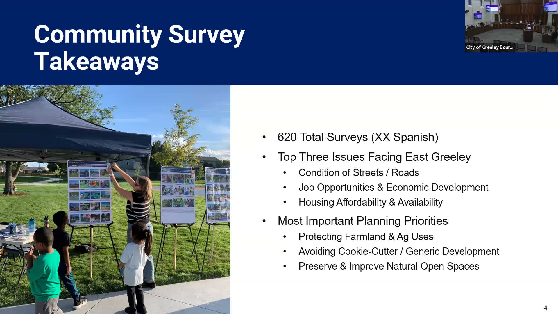
Planner Britt summarized results of the first-round engagement and presented draft concepts to guide the East Greeley Subarea Plan, saying housing affordability remained “a big topic everywhere in Colorado, everywhere in Greeley.” The workshop outlined mixed housing options, farmland preservation north of the airport, neighborhood hubs, and transportation strategies to reconnect the east side to downtown.
Britt said the team hopes the plan will be “going beyond your typical comprehensive plan type level document” and produce pilot projects that move to construction quickly. Among the concepts shown was a campus‑town idea along Business 85 that would convert underused right‑of‑way into a greenway flanked by mixed‑use development and potential student housing given proximity to the University of Northern Colorado.
Planners described a ‘dumbbell’ multimodal idea linking nodes — the Civic Campus, UNC and the Western Sugar/URA area — using a series of east–west corridors (22nd, 18th, 16th, 13th, 8th and 5th streets) to improve pedestrian, bicycle and transit connections. Staff flagged County Road 66 upgrades that Weld County plans to build as an important east–west connector that the subarea plan will account for.
The land‑use bubble plan north of the Poudre River reserves the northern two miles toward Highway 392 for agricultural preservation, with business park and light industrial uses near the airport where flight paths make residential uses impractical. Britt also identified an energy production zone east of the airport to encourage trunk‑line extensions from utilities and support future industrial uses.
On funding, staff said the plan will analyze fiscal returns and use a mix of tools — tax‑increment financing through urban renewal districts, federal and state grants and other capital sources — to advance shovel‑ready projects. A staff member said the capital stack will likely be a “motley collection” rather than a single funding source.
Speakers and attendees raised implementation and technical concerns during Q&A. A resident cautioned that extending a rail spur along Cherry Avenue could face grade challenges; the resident also questioned the airport’s suitability for passenger service, noting the runway ‘‘the big 13416 is not thick enough to handle commercial traffic’’ (runway length figure and units were given in the workshop record but units were not specified). Staff said multimodal crossing options for Highway 85 — at grade with pedestrian islands, an overpass or an underpass — remain under study and will depend on available funding.
Planners emphasized coordination with existing downtown plans so East Greeley’s growth can feed downtown vibrancy rather than duplicate efforts. The next phase will include a second community survey, more stakeholder meetings and targeted discussions with departments such as the airport and economic development. Staff said they aim to refine alternatives this summer and pursue quick‑start projects over the next three to five years, while continuing outreach to residents and external agencies.