Get Full Government Meeting Transcripts, Videos, & Alerts Forever!
Get email alerts on the Waterfront Adaptation topic
No spam. Unsubscribe anytime.
Santa Barbara staff outline 30‑year waterfront adaptation plan with elevated paths, sand management and phased funding
Summary
City sustainability staff presented a draft 30‑year Waterfront Adaptation Plan that models sea‑level rise scenarios, proposes quick wins and core measures (including elevated walking/biking paths and targeted revetments), and commits to technical analysis, funding strategy work and broad public engagement before a 2027 public draft.
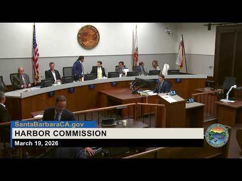
City staff presented the draft Waterfront Adaptation Plan, a two‑and‑a‑half‑year effort to prepare the three‑mile low‑lying waterfront for erosion, flooding and sea‑level rise while preserving recreational and working‑harbor uses.
Timmy Bolton, senior climate adaptation analyst and project manager, said technical modeling shows the waterfront has already experienced roughly 3–4 inches of local sea‑level rise since 2000 and that risks grow over time: staff presented scenarios of roughly 0.8 ft by 2050, 1.6 ft by about 2065 and 2.5 ft by about 2075. Bolton described a three‑tiered approach of “quick wins” (minor drainage improvements, temporary deployable flood protection and restriping to improve pedestrian/bike safety), core measures (foundational projects that protect the waterfront for the 30‑year planning window, such as an elevated walking/biking path and targeted revetments), and future options (groins, headlands or offshore structures that could be considered farther out in time).
Melissa Hetrick, the city’s adaptation and resilience program manager, said Leadbetter, the harbor commercial area, West Beach and East Beach each present distinct opportunities and trade‑offs: West Beach is relatively stable and seen as a place to prioritize sandy‑beach experience; East Beach is eroding and may need engineered additions to maintain width; the harbor commercial area may require revetments and a pedestrian promenade to protect boat and business functions. Staff emphasized phasing and monitoring so moves inland would be triggered only as conditions warrant.
Commissioners asked for more detail on cost and funding. Bolton and Hetrick said quick‑win measures can largely be implemented using existing capital budgets, but the core projects and any future engineered options will require outside funding; staff will produce a funding strategy and technical cost estimates in a summer analysis and release a public draft early in 2027, with final council consideration targeted for spring 2027.
The plan also committed to expanded community engagement over the next three months (in‑person pop‑ups, three open houses, Spanish‑language outreach with community partners and stakeholder interviews). Commissioners and public commenters emphasized inclusion of Chumash tribal consultation and nature‑based measures (kelp and reef restoration), better data on economic benefits (a commissioner pointed to blue‑economy studies), and clear parking and access consequences of any relocation.
Public commenters who swim and use the beaches urged phased implementation and warned against removing public amenities such as Leadbetter restrooms or displacing parking without clear replacements. Staff agreed to incorporate parking analyses, the blue‑economy context and tribal engagement into the technical phase.
What happens next: staff will run technical feasibility, cost and funding analyses this summer, expand stakeholder outreach over the next three months, release a public draft early 2027 for additional comment, then bring a preferred alternative and funding strategy back to council in spring 2027.