Get Full Government Meeting Transcripts, Videos, & Alerts Forever!
Get email alerts on the Land Use Development topic
No spam. Unsubscribe anytime.
North Providence planning board continues Reynolds Avenue housing proposal after residents raise flooding, berm concerns
Summary
The planning board continued a proposal to place two houses on a 2.278-acre lot on Reynolds Avenue after neighbors detailed repeated flooding, a breached stormwater berm and demanded DEM permits, DPW review and an independent stormwater peer review; the hearing was continued to June 10, 2026.
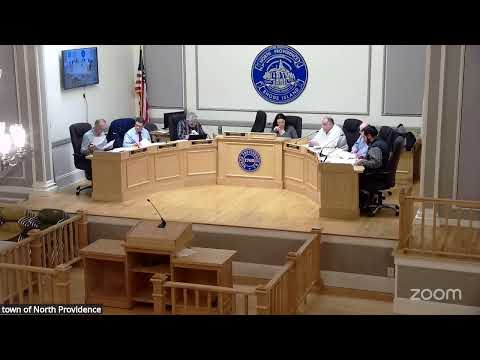
The Town of North Providence Planning Board on April 1, 2026 continued its public hearing on a developer’s plan to place two single‑family houses on one 2.278‑acre lot at Reynolds Avenue and North Howard after a lengthy public comment period focused on flooding and stormwater management.
The applicant’s representative, engineer Dan Campbell of Level Design Group, told the board the parcel sits in the RL13 district and is encumbered by wetlands, and described a plan that would extend North Howard and construct a new Reynolds Avenue to serve the two houses. Campbell said the design includes sediment forebays, bio-retention basins and infiltration swales and that preliminary calculations show about a 15% reduction in the peak rate of runoff from the site compared with existing conditions. “We are decreasing the total amount of water and the rate with which the water goes to that space,” Campbell said, adding the design would pre-treat runoff before it reaches the pond and wetlands.
Why it matters: residents who live downhill from the site told the board they already experience repeated flooding and said a nearby earthen berm (a stormwater retention berm residents said was breached in prior storms) has not been reliably maintained. Multiple speakers said clearing on the site had removed vegetation and expressed skepticism that the proposed drainage plan would prevent more frequent or worse flooding.
“I'm very concerned this might happen again,” resident Warren Richelli said, describing past breaches and downstream flooding. Ed Benetti, who lives nearby, urged the board to require professional review and inspections: “We’re asking the planning board to bring in the necessary professional resources to evaluate the impact this proposed development is going to have on flooding before granting approval,” he said.
What the board asked for: in response to public concerns the board asked the applicant to obtain and provide written comments from the Rhode Island Department of Environmental Management (DEM) on wetlands and buffer impacts, secure comments from the Department of Public Works on maintenance and road design, and obtain a third‑party stormwater peer review (at the developer’s expense) that addresses runoff rates, basin overflows and long‑term maintenance. The applicant agreed to provide DEM correspondence (an on‑site DEM visit was described by the applicant) and peer‑review materials prior to the next hearing.
The board also requested a written determination or memo from the town fire department about whether the proposed turnarounds and proposed roadway widths would allow safe emergency vehicle access, after the fire marshal told the applicant without producing a memo that parked cars could prevent a ladder‑truck turnaround. Campbell said he would seek written confirmation from the fire department.
Outcome and next step: the board voted unanimously to continue the public hearing to June 10, 2026, date certain, and the applicant agreed to waive statutory time limits while DEM reviews proceed. The board’s list of requested deliverables includes DEM emails or preliminary comments, DPW feedback on road and maintenance obligations, a fire department memo addressing access/turnaround, and a third‑party stormwater peer review with revised calculations and plan corrections noted during the session.
What was not decided: the board did not vote on variances or approvals tied to the application during this meeting. Campbell and the planner clarified that some minor dimensional relief (administrative modifications capped at 15% for certain parking and driveway dimensions) can be approved administratively if no abutter objects during a 14‑day notice period; the special‑use permit for multifamily housing and the numeric lot‑area variance (listed as 66,212 sq ft in the application materials) must be decided by the planning board.
Bottom line: neighbors won a commitment to independent technical review and written agency comments, and the hearing was continued to allow DEM, DPW, the fire department and an independent reviewer to assess whether the project’s stormwater and access plans adequately protect downstream properties. The board emphasized it will not approve development that demonstrably increases downstream flooding, and public commenters said they will provide photographs and documentation to the record.