Get Full Government Meeting Transcripts, Videos, & Alerts Forever!
Planning commission tables Shackleford Ridge preliminary plat after geotech, safety and school-capacity concerns
Summary
The Signal Mountain Planning Commission on Feb. 5 heard technical tests showing historic mine workings under parts of the Shackleford Ridge site, debated runoff, emergency access and local school capacity, and voted to table the preliminary plat to March 5 while staff and commissioners review outstanding geotechnical and county school materials.
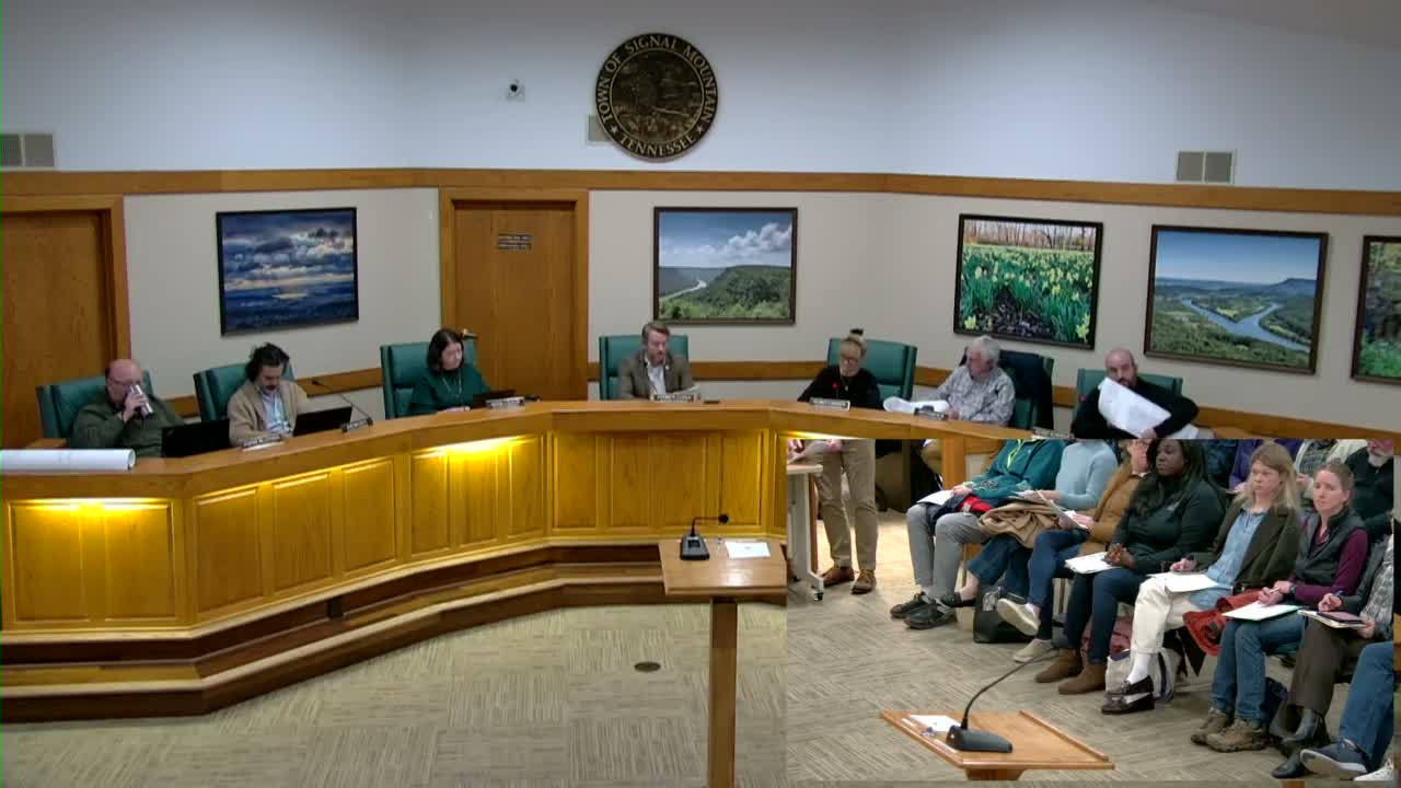
The Signal Mountain Planning Commission voted Thursday to table consideration of the Shackleford Ridge (Jasper Ridge) preliminary plat until its March 5 meeting after receiving new geotechnical and county-school materials and fielding extensive public concern.
Developers presented a revised 106‑lot conservation neighborhood and consultants described targeted subsurface testing near mapped and previously unmapped mine entrances. Derek, the lead geotechnical engineer with UES (formerly Geo Services), said his team used historical maps, TDEC documents and electrical resistivity imaging (ERI) to locate two northeastern mine entrances and another unmapped feature found on a 1959 USGS map. "Once that is complete, we would like to do a few confirmation borings just to 100% verify that what we're seeing on the ERI and what we've seen on the historical review is accurate," Derek told the commission, and estimated drill…
Already have an account? Log in
Subscribe to keep reading
Unlock the rest of this article — and every article on Citizen Portal.
- Unlimited articles
- AI-powered breakdowns of topics, speakers, decisions, and budgets
- Instant alerts when your location has a new meeting
- Follow topics and more locations
- 1,000 AI Insights / month, plus AI Chat