Get Full Government Meeting Transcripts, Videos, & Alerts Forever!
Planning commissioners require geohazard study, defer Shackleford Ridge subdivision
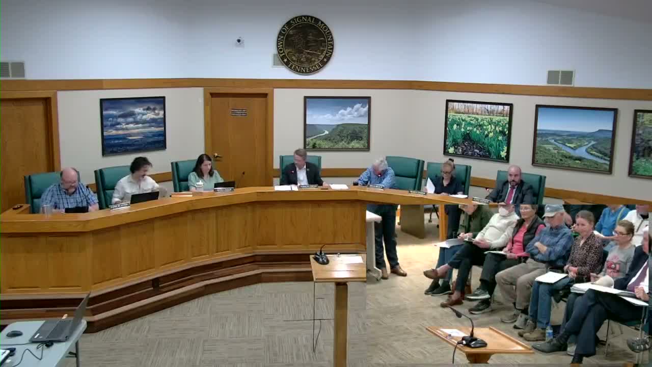
Summary
After a full hearing on a proposed 106-home conservation subdivision, the Signal Mountain Planning Commission voted to require a certified geohazard assessment (including void mapping and acid-mine drainage analysis), insisted on town input in choosing an independent investigator, and deferred final action to the February meeting.
Signal Mountain — The Planning Commission voted Jan. 8 to require a certified geohazard assessment, including void mapping and acid-mine-drainage analysis, for the proposed Shackleford Ridge preliminary subdivision and to defer a final decision to the commission’s February meeting.
The action followed a public hearing on a conservation subdivision proposed by developer Reagan Smith (presentation led by Ben Belders). The plan covers roughly 182 acres on Shackleford Ridge Road and would yield about 106 single-family homes and roughly 65 acres designated as conservation land, the applicant said. Town staff and residents raised concerns about historical mining features, low-pH groundwater discharges, stormwater ponds, traffic and school capacity.
Why it matters: Town environmental staff reported that the Tennessee Department of Environment and Conservation (TDEC) conducted a site visit on Jan. 7 and verbally confirmed about 23 mine-related features on the property; staff found 18 such features during their walk of the site and measured groundwater pH readings near 3–4…
Already have an account? Log in
Subscribe to keep reading
Unlock the rest of this article — and every article on Citizen Portal.
- Unlimited articles
- AI-powered breakdowns of topics, speakers, decisions, and budgets
- Instant alerts when your location has a new meeting
- Follow topics and more locations
- 1,000 AI Insights / month, plus AI Chat