Get Full Government Meeting Transcripts, Videos, & Alerts Forever!
Get email alerts on the Resource Delineation topic
No spam. Unsubscribe anytime.
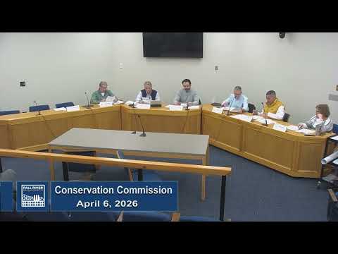
Conservation commission approves resource-area delineation for Valcourt/North Main parcel
Summary
The commission approved a negative determination accepting the submitted wetlands and resource-area delineation for parcels near North Main Street, directing that any proposed work be filed as a separate notice of intent; members debated whether the channel should be classified as perennial or intermittent before approving the delineation.
The Fall River Conservation Commission voted on April 6 to approve a negative determination for the resource-area delineation submitted for properties along North Main Street (Valcourt Road D Trust, applicant Antonio Costa). The action accepts the wetlands line as presented and requires any proposed work near the delineated area to be filed as a separate notice of intent.
Members and staff debated whether the channel feeding into the site is perennial or intermittent and whether the area should be treated as riverfront and Bordering Vegetated Wetland (BVW). Staff explained the filing was advertised as a notice of intent but that, as submitted, the application requested verification of the resource line. After discussion — including consultant input about upland drainage and historical diversions — the commission approved a negative determination for the delineation and directed that future project work be submitted in an NOI with appropriate setbacks.
Commissioners emphasized that the delineation decision does not approve any proposed construction; it only confirms the boundary that will govern future review. The decision also clarified that the proposed activity must remain at least 25 feet from the top of the bank where relevant or be addressed in a future NOI.
The motion to accept the delineation was seconded and carried by roll call. Staff indicated that the work itself, if proposed, will be reviewed separately under the NOI process.
This determination affects how future development proposals for the parcel will be measured against local wetland protections and state resource-area standards.