Get Full Government Meeting Transcripts, Videos, & Alerts Forever!
Get email alerts on the Comprehensive Plan Update topic
No spam. Unsubscribe anytime.
North St. Paul planning commission kicks off comprehensive‑plan update, flags regional water and trail coordination
Summary
Planning staff opened the process to update North St. Paul's comprehensive plan by September 2028, reviewed goals carried from the 2040 plan, and highlighted regional coordination with the Met Council and potential water‑supply issues tied to nearby lake studies.
Planning staff opened the city's comprehensive‑plan update at the March 5 Planning Commission meeting, reminding commissioners that state and regional schedules require North St. Paul to complete an update by September 2028 and to align local policy with the Met Council's regional guidance.
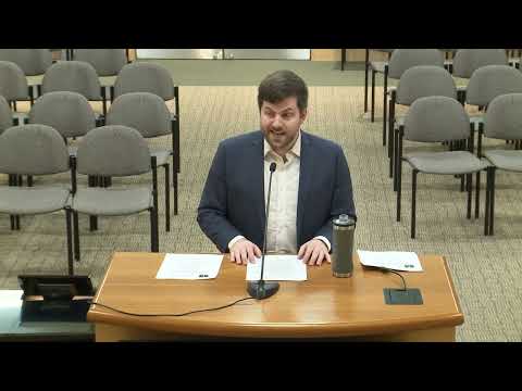
The presenter (staff member Ken) summarized the plan's role: a high‑level policy framework that guides zoning, subdivision and capital improvements. He said the update will examine land use, transportation, housing, parks and natural resources and asked commissioners to begin by reassessing the plan's vision and eight goal areas adopted in the current 2040 plan.
“North St. Paul is required to complete an update of its comprehensive plan by September of 2028,” the presenter said, and described the Met Council's Imagine 2050 guidance as a key input the city must address for regional consistency. Staff noted the Met Council and partner agencies have identified several regionally significant elements and gave the potential Highway 36/120 interchange as an example of a regional system change that would affect local planning.
Commissioners and staff spent time on utilities and natural resources after the presentation. Staff described an ongoing DNR‑led study and earlier court determinations affecting groundwater near White Bear Lake and cautioned that the study's conclusions could affect North St. Paul's water supply options — possibly requiring interconnection to neighboring systems if local groundwater limits are imposed. Commissioners discussed the potential for a regional pipe or connections and asked staff to monitor the DNR study as the comp‑plan work proceeds.
Commissioners also requested that staff include a clear trail map and transportation elements in the plan update materials. Staff said they would circulate the presentation handout by email and return with draft materials for further discussion; commissioners agreed to review the goals and return the item to a future agenda.
Next steps: staff will share the presentation and packet materials with commissioners, refine scope items such as trail mapping and water‑resource implications, and schedule follow‑up discussion in upcoming regular meetings; two public hearings on separate applications are already on the April agenda.