Get Full Government Meeting Transcripts, Videos, & Alerts Forever!
Get email alerts on the Land Use topic
No spam. Unsubscribe anytime.
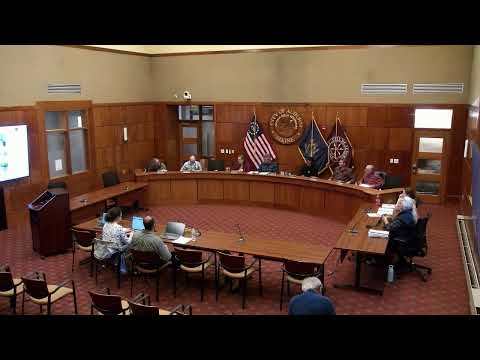
Auburn planning board approves Danville Corner housing plan amid traffic, slope concerns
Summary
The Auburn Planning Board approved final subdivision for Danville Corner—68 single‑family homes plus three multifamily buildings—with conditions including recording the subdivision and granting water/sewer easements; members noted unresolved questions about a 7° intersection slope and urged signage and a traffic engineer opinion as follow‑up.
The Auburn Planning Board on a 6–1 vote approved a final site plan and subdivision for the Danville Corner housing development, allowing 68 single‑family homes and three multifamily buildings of eight units each to move forward with conditions. The motion requires recording the final subdivision plan before issuance of building permits, that water and sewer easements be granted to the Auburn Water and Sewer District prior to activation of mains, and that the applicant submit revised site plans correcting street lighting.
The project, filed by Terodan Consultants LLC on behalf of Timothy Millet, had been continued from a prior session while staff and the applicant revised documents. At the hearing, staff said the applicant updated condo documents, removed a retention pond from open‑space calculations (cutting contiguous open space from about four acres to roughly three), shifted Delish Drive about 25 feet north to reduce retaining walls, added parking and turning movements for emergency vehicles, and removed an accessory warehouse previously shown on lot three.
Board members and residents pressed the applicant about traffic impacts at the nearby Danville Junction Road/Washington Street intersection, where the approach slope is approximately 7°, and whether the traffic study accounted for slope‑related safety. Sam, a city staff planner, said the traffic study used standard modeling that included lane widths but did not model slope; staff concluded the study met ordinance standards and that DOT had no objection to the capacity analysis. The applicant’s engineer said VHB and city engineers reviewed the study and that DOT provided comment but typically does not perform a peer review for these permits.
Several speakers raised neighborhood concerns during public comment: potential overstating of open space where limited common elements abut homes; the adequacy of recreation and active open space for future residents; school‑bus access and street lighting; and the legal/financial arrangements for utilities if the developer conveys infrastructure to the condo association. Steve Warren, a nearby resident, asked the board to consider financial security for water/sewer infrastructure that remains private until conveyed to the association.
The board debated whether it could require additional study of off‑site conditions such as the Washington Street intersection. Several members said their purview is to weigh the evidence presented (VHB, city engineers) against ordinance standards; others urged a condition asking the applicant to provide a traffic‑engineer opinion specifically addressing the slope and to consult with public works on signage. The final approval includes a requirement for corrected lighting plans and easements; the applicant agreed to coordinate further engineering follow‑up if requested.
The motion as amended passed six to one. The board recorded the approval with conditions and closed the public hearing. The project’s next steps are recording the subdivision plan and satisfying the listed conditions before building permits are issued.