Get Full Government Meeting Transcripts, Videos, & Alerts Forever!
Get email alerts on the Land Use topic
No spam. Unsubscribe anytime.
Planning commission approves tentative parcel map for 5629 Fosteria Street
Summary
The Bell Gardens Planning Commission on April 15 adopted Resolution PC 2026-03 to approve Tentative Parcel Map 85047, allowing an 18,226-square-foot property at 5629 Fosteria Street to be divided into two parcels; staff said the map cleans up existing lot ties and no new construction is approved by the map.
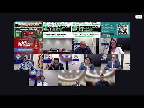
The Bell Gardens Planning Commission on Wednesday approved a tentative parcel map that subdivides 5629 Fosteria Street into two parcels.
Associate Planner Adrian Aduko told commissioners the proposed Tentative Parcel Map 85047 would split an approximately 18,226-square-foot parcel into Parcel 1 (about 10,084.5 square feet) and Parcel 2 (about 8,140.5 square feet). Aduko said the map is intended to remove existing lot ties and clean up the parcel configuration; no new construction is being proposed as part of the entitlement.
Commissioners asked staff to confirm that the property currently contains a duplex, two accessory dwelling units and a one-car garage, and to clarify parking requirements under the site’s R-3 (high-density residential) zoning. Staff confirmed R-3 requires two parking spaces for future residential proposals and that any future development would have to go through the city’s Community Development Department for review.
With no members of the public speaking on the item, the commission closed the public hearing and adopted Resolution PC 2026-03 on a roll-call vote. The roll call recorded five affirmative votes and no opposition.
The approval clears the way for the final map process that staff said will remove the lot ties on record and produce two legally distinct parcels. Any future development on either parcel would be subject to separate permits and environmental review as required by city regulations and state law.
Action taken: the commission found Tentative Parcel Map 85047 exempt from CEQA pursuant to Section 15315 (Class 15) and approved Resolution PC 2026-03, allowing subdivision of 5629 Fosteria Street into two parcels.