Get Full Government Meeting Transcripts, Videos, & Alerts Forever!
Get email alerts on the Local History topic
No spam. Unsubscribe anytime.
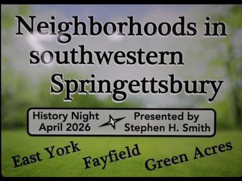
Springettsbury history night traces East York, Fayfield and Green Acres development
Summary
Stephen H. Smith traced the development of East York (1903), the postwar Fayfield subdivision and the smaller Green Acres neighborhood, highlighting lot-sale patterns, school formation and how highways and township boundaries shaped which streets and bridges were built.
Stephen H. Smith, chairman of the Springettsbury Township Historic Preservation Committee, outlined the origins and growth of three adjoining neighborhoods in southwestern Springettsbury, saying the story illustrates how developers, roads and municipal boundaries shaped local housing patterns.
Smith said East York was laid out in 1903 by developer John H. Long Street, who promoted features such as cement sidewalks, York Water Company service, electric lights and a sewer system. He said early lot sales favored investors: “In the first 10 years of sales, 123 buyers ... purchased 68 lots,” and by 1920 only eight buyers had built homes on their parcels, a pattern Smith described as common in early suburban development.
The talk placed those early plans against later changes: a 1947 aerial photo used in Smith’s presentation shows East York, the Fayfield subdivision (approved by the planning commission in 1947) and the smaller Green Acres neighborhood (planned in 1953). Smith noted Fayfield’s initial plats did not require sidewalks, a detail still visible on local streets: “If you drive south on any of the streets in East York, as soon as the sidewalks fade away, you know you’re in Fayfield,” he said.
Smith also traced the civic consequences of development pressure. He recounted a 1912 sale of six lots to the Springettsbury Independent School District at a deep discount and said that sale led to the founding of Houston School, which expanded over time as the district responded to overcrowding.
A recurrent theme was how intergovernmental and infrastructure choices redirected growth. Smith described a long-running dispute over who would pay to bridge Mill Creek between townships, and later said the routing decision for the major east‑side highway in the mid‑1950s changed developer plans—prompting some landowners to propose commercial uses near the proposed interchange rather than additional housing lots.
Smith also highlighted local color and surprises from archival research: several early properties were sold and re-sold before houses were built; a number of early lot buyers were women acting independently; and three separate construction-era discoveries of human bones (notably June 24, 1927) suggest a formerly unmarked burial ground in the area.
Why it matters: Smith framed these details as more than antiquarian interest, arguing they explain why neighborhood boundaries, street patterns and building types differ across short distances in Springettsbury today. He encouraged those with photos or family records (for example, of a 1928 Lincoln Highway marker) to contact the committee.
The Springettsbury Township Historic Preservation Committee recorded the presentation; the video will be posted to the township’s website and YouTube channel in the weeks following the event.