Get Full Government Meeting Transcripts, Videos, & Alerts Forever!
Buncombe County reviews Swanoa small‑area plan: flood mapping, wildfire risk, buffers, housing and a $20M sidewalk estimate
Summary
County planners briefed commissioners on the draft Swanoa small‑area plan, focusing on hazards and resilience (flood maps, a proposed 10‑year look‑back for the substantial‑improvement rule, wildfire risk and private‑property limits), riparian buffers constrained by state law, housing affordability actions, transportation priorities (US‑70 sidewalks, greenway work, RiverLink easements and buyouts) and a phased implementation timetable.
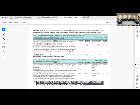
Buncombe County planning staff led the Board of Commissioners through a detailed review of the Swanoa small‑area plan, describing more than 100 policies and actions intended to guide recovery and future growth after recent storm impacts.
Hazards and resilience dominated the session. Staff said many policies will apply countywide while helping Swanoa specifically, and highlighted three priorities: updated flood mapping, stronger development standards in special flood hazard areas, and increased awareness for hazard vulnerability. Commissioners were told that North Carolina develops flood maps that FEMA accepts and that new maps are in progress; staff offered to have mapping lead Nate follow up with an estimated timetable. A commissioner noted that, "according to Nate, the flood maps won't be updated for two and a half to three years," and staff said the plan's actions would apply to existing maps until any new maps are adopted.
Planners proposed changing the substantial‑improvement/threshold…
Already have an account? Log in
Subscribe to keep reading
Unlock the rest of this article — and every article on Citizen Portal.
- Unlimited articles
- AI-powered breakdowns of topics, speakers, decisions, and budgets
- Instant alerts when your location has a new meeting
- Follow topics and more locations
- 1,000 AI Insights / month, plus AI Chat