Get Full Government Meeting Transcripts, Videos, & Alerts Forever!
Get email alerts on the Floodplain Management topic
No spam. Unsubscribe anytime.
State official outlines floodplain permitting, enforcement and map-update timeline in Black Mountain forum
Summary
A state floodplain official told Black Mountain residents that federal rules (44 C.F.R. §60.3) underpin the town's ordinance, that permits and elevation certificates are required for most work in special flood hazard areas, and that map updates from lidar and surveys can take years.
A state government employee who handles floodplain audits and technical assistance told a public forum in Black Mountain that the town’s floodplain ordinance implements federal rules and that nearly any man-made change in a mapped special flood hazard area requires a permit.
The forum, attended by town staff and residents, focused on how the National Flood Insurance Program rules (cited by the presenter as 44 C.F.R. §60.3) and state statutory authorizations shape local permitting, inspections and recordkeeping. "The ordinance is based on the Code of Federal Regulations," the presenter said, adding that the town has authority under state law to enforce those federal standards. He directed residents to the town's online code (chapter 2/2.3) and the state's Flood Risk Information System (FRIS) to view maps and panels.
Why this matters: After recent storm damage, homeowners and contractors are trying to repair and clear properties. The presenter emphasized that compliance protects life and reduces downstream harm: permits trigger required documentation (permit application, elevation certificates and inspection records) that FEMA audits and that may affect flood insurance eligibility.
Key takeaways from the forum
- What needs a permit: The presenter said FEMA’s working definition of "development" covers virtually any man-made change, including placement of a mailbox post, accessory structures, addition of fill, new HVAC or electrical equipment and many repair activities. "If it's in a special flood hazard area, you need a permit," he said.
- Elevation certificates and construction checks: Officials recommended securing intermediate elevation certificates during construction and a final elevation certificate (the one required by federal law) so errors can be caught before completion. The presenter described elevation documentation as both a compliance check and a legal record of development.
- Variances and life-safety standards: Floodplain variances are different from zoning variances and require specific findings of fact. The presenter urged communities to avoid liberal issuance of variances because they remain attached to properties and can increase risk.
- Flood zones, floodways and freeboard: The presenter distinguished Zone AE (regulated 1% annual-chance areas) from Zone X (500-year/exone, nonregulated). He noted Black Mountain has adopted a local regulatory freeboard of two feet above base flood elevation to improve resilience when structures are rebuilt.
- Mapping and timing: Officials walked residents through the FRIS website and showed the local panel effective date (listed at the meeting as 1/16/2010). The presenter said new lidar flights and ground surveys are part of map updates but stressed the multi-step vetting process (surveying, engineering review, public meetings and federal vetting) can take a long time: "If they flew the lidar today, you're not getting new maps next week," he said.
- No-rise studies and modeled streams: For projects in floodways or non-encroachment areas, the presenter said engineers must demonstrate via hydrologic/hydraulic models (for example, HEC-RAS cross-section analysis) that a proposed change causes "zero rise" before local approval; changing a modeled channel could require a Letter of Map Revision from FEMA.
- Enforcement and debris removal: Residents pressed officials about enforcement and unpaid volunteers or out-of-area helpers removing stream debris. Officials said debris-removal programs tied to federal recovery (Army Corps and FEMA) take time to mobilize and that local enforcement follows ordinance procedures (stop-work orders, notices, hearings), with long-lasting FEMA citations possible if violations are not corrected.
Quotes and exchanges
- On ordinance authority: "The ordinance is based on the Code of Federal Regulations," the state government employee said, adding the town enforces those rules under state statutory authorization.
- On permits: "Any development in a special flood hazard area needs a permit," the presenter said, reiterating that even seemingly minor actions can require formal review.
- On map timing: "You're not getting new maps next week," he told residents asking about lidar-driven updates, explaining the multi-year nature of the mapping process.
Speakers and attributions
The report attributes direct quotes only to speakers who appear in the transcript: the State government employee (forum presenter), Ann (the town’s floodplain administrator, who confirmed the town’s records and posting plans), Terry (a floodplain administrator/technical contact who described engineering and no-rise requirements), and an unnamed Resident whose questions prompted clarifications about debris removal and enforcement.
Next steps and resources
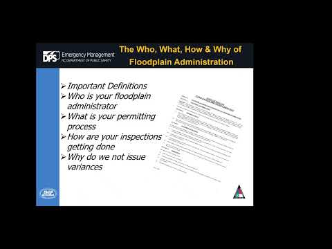
Officials said they would post a PDF of the presentation on the town’s website and encouraged residents to contact town staff for permit questions and to report potential unauthorized work. They stressed that an emergency declaration does not exempt properties from floodplain permitting and documentation requirements.
The town and state officials advised residents filing repairs to secure required permits, obtain elevation certificates during construction, and contact licensed engineers for no-rise work in floodways. The presenter offered follow-up technical assistance and said staff would share the presentation materials online.