Get Full Government Meeting Transcripts, Videos, & Alerts Forever!
Get email alerts on the Land Use topic
No spam. Unsubscribe anytime.
Planning commission backs developer plan to rezone 56 acres for 63‑lot subdivision, recommends council review
Summary
The Mapleton City Planning Commission voted to recommend that the City Council consider rezoning roughly 56 acres from A2 to PRC10 with a TDR receiving‑site overlay, enabling up to 63 lots and dedicating a corridor of the Parkway Trail to the city. Public commenters split on traffic, wildfire evacuation and neighborhood character.
The Mapleton City Planning Commission on a recommendation vote moved the next step forward for a proposed subdivision that would rezone about 56 acres from A2 to PRC10 and apply a transferable development right (TDR) receiving‑site overlay to allow up to 63 residential lots.
Staff summarized the application as two owner parcels — a 15‑acre Allen family parcel and a 41‑acre parcel owned by Twin Hollow LLC — currently vacant and zoned A2. The applicant asks the city to adopt PRC10 zoning and allow the use of 20 TDR certificates to reach the 63‑lot total. Sean, the city staff presenter, told the commission the base density under the general plan would yield roughly 43 lots and that under the city’s TDR ordinance the applicant’s proposal (about 14% dedicated open space) falls under the less‑than‑15% category that allows up to a 50% density increase.
Why it matters: The project would change the parcel’s character from rural‑residential designations toward a clustered PRC plan and would include formal public‑realm benefits. The applicant has proposed dedicating the Parkway Trail corridor in fee to the city and protecting a stand of native oaks. Staff noted the PRC zone provides flexibility in lot sizes and layout but does not automatically increase allowed lots without the TDRs and a commission recommendation and council action.
The developer, Mike Clark, told the commission he and his partners have secured the 20 TDRs needed, plan to dedicate approximately 4.8 acres of trail corridor to the city and intentionally capped the request at 63 lots rather than maximizing density. Clark said the layout is intended to create one‑acre lots that buffer the existing Twin Hollow/Triple Crown neighborhoods to the north and smaller clustered lots toward the south.
Public comment split. Supporters — including long‑time resident and former city engineering division manager Brent Seammens — said the parcel is an appropriate TDR receiving site and pointed to prior nearby TDR‑based developments. Opponents raised several persistent concerns: that rezoning to PRC10 effectively increases the total allowed lots and departs from the general plan’s rural/open‑space aims; that South Main/1600 South already shows safety and congestion problems and that required improvements (sidewalks, roundabout, widening) should precede additional traffic; and that emergency access and wildfire evacuation routes could be strained. Laura Jones, a 1600 South resident, said, “I have seven children … I arrived right on the scene and picked Colin Allen up off the ground when he got hit by a car on our road,” urging earlier safety work.
Traffic consultant Matt Hastings told the commission the development would add about 5–10 peak‑hour vehicles at the worst intersection and that background growth and previously approved projects are the primary drivers of high delay at 1600 S and Main; he recommended long‑term solutions such as a roundabout or signal but said those are a multi‑year horizon.
Commissioners and staff clarified phasing constraints: state/local access rules cap lots on a single ingress/egress at about 30, so the plan’s northern phase (about 30 lots) could be constructed under current access but later phases require additional points of connection to the south and to Highway 89; staff said the city could require that a second access be in place before a later phase’s plat is recorded.
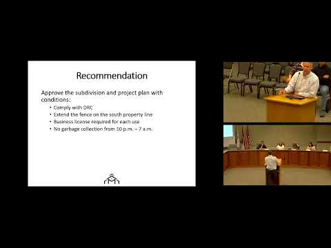
The commission voted to recommend approval of the rezoning and concept plan to the City Council; the item was placed on the council agenda for a May 6 public hearing.
What’s next: The City Council will hold a public hearing and make the final legislative decision. If the council approves, subsequent subdivision plats will need to meet phasing and access requirements, and the commission and staff indicated they would expect construction‑level traffic and stormwater mitigation to be addressed at those stages.