Get Full Government Meeting Transcripts, Videos, & Alerts Forever!
Get email alerts on the Land Use topic
No spam. Unsubscribe anytime.
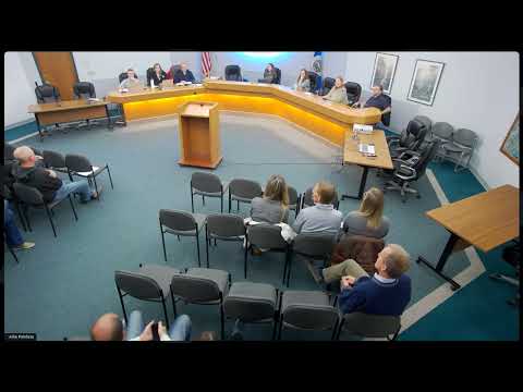
Minnetrista planning commission forwards Highway 7 land‑use change to council after traffic concerns
Summary
On Oct. 27 the Minnetrista Planning Commission voted 4–1 to recommend a comprehensive plan amendment to change future land use for roughly 160 gross acres along State Highway 7 and Grim Road from 'urban reserve' to 'residential low‑medium,' prompting questions about traffic, timing and Met Council density requirements.
The Minnetrista Planning Commission on Oct. 27 voted 4–1 to recommend that the City Council approve a comprehensive plan amendment to change the future land‑use guidance for a group of parcels on the south side of State Highway 7 east of Grim Road to residential low‑medium. The change would move about 160 gross acres out of the city's "urban reserve" designation and into guidance that anticipates roughly 3 to 3.5 units per acre.
The recommendation, which is advisory and will go to the City Council for final consideration before Metropolitan Council review, drew sustained public comment about traffic safety, driveway access and timing. "Getting out of my driveway is scary," said resident Tom Houston, who lives across Highway 7 and described a recent crash near his home. Residents pressed staff and the applicant for early traffic analysis and clearer timelines for when construction might begin.
City planner Nick Olsson told the commission this is a long‑range step: a city recommendation would be followed by Metropolitan Council review (typically 60–120 days), then preliminary and final plat reviews (each often two to four months), with environmental and traffic assessments required by the Met Council as part of that review. An applicant representative, identified in the record as Griffin of MI Homes, said the request is an early stage comp plan amendment and that the developer has held preliminary conversations with MNDOT and expects traffic to be part of an environmental assessment.
Commissioners said they wanted the City Council to see a conceptual plan and adequate traffic information before making a final decision. At the meeting a motion to forward the amendment to council included conditions that the applicant obtain required permits and that the applicant provide materials requested by the city; the motion passed 4–1.
Supporters of the amendment cited regional growth and Metropolitan Council "Imagine 2050" system statements that set density expectations. Opponents and nearby residents voiced concern about losing rural character, property‑value impacts and the practical difficulty of accessing Highway 7 (residents described visibility problems in winter and high peak traffic flows). Several speakers asked whether the change would force adjacent landowners to rezone; staff repeatedly replied that only the applicant's parcels are included in the requested amendment and that adjacent properties’ guidance would not change without a separate application.
Next steps: the commission's recommendation will be forwarded to the City Council for a final decision; if the council approves it the application will then go to the Metropolitan Council for their review and required environmental/traffic assessments. Staff advised residents to monitor the city website for updated materials; City Planner Nick Olsson was listed as the staff contact for further information.
(Reporting notes: quotes and attributions are taken from the public hearing and deliberations; acreage and density figures are approximate as stated in the staff presentation and applicant materials.)