Get Full Government Meeting Transcripts, Videos, & Alerts Forever!
Get email alerts on the Critical Areas Ordinance topic
No spam. Unsubscribe anytime.
Spokane County planners propose CAO updates while West Plains residents demand more data on aquifer contamination
Summary
Consultants outlined revisions to Spokane County's Critical Areas Ordinance, including larger riparian buffers and new review thresholds for high-risk recharge areas. West Plains residents and researchers told the commission that important groundwater data and recent studies are missing from the maps and urged staff to pause to integrate those datasets.
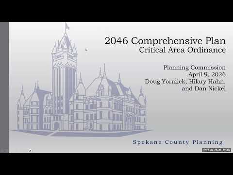
Spokane County Planning Commission members spent much of their April 9 meeting reviewing consultant-recommended updates to the county's Critical Areas Ordinance and listening to extended public concerns about groundwater and mapping in the West Plains.
Consultant Doug Yarmick of Facet walked commissioners through the draft changes, stressing that the county's CAO must align with the Growth Management Act and "best available science." Yarmick said the proposals include updated definitions, a clearer mitigation-sequencing requirement and larger riparian buffers in many stream categories (for example, raising Type F buffers toward 150 feet and using 100 feet as a minimum for many Type N streams). He also described a "functionally disconnected buffer" option that would allow buffer reductions where a roadway or similar feature bisects a riparian area.
The changes are meant to be forward-looking, Yarmick said, and will be paired with a targeted public- and agency-review schedule that staff expects to carry into the April 30 meeting and a potential public hearing on May 28.
But public commenters — notably Julia McHugh of the Palisades neighborhood on the West Plains — urged caution. "This process is designed to not hear from people," McHugh told the commission, arguing that morning meetings and a three-minute comment window exclude working residents and that the maps consultants showed do not reflect recent or locally held technical data. McHugh and other residents cited several datasets they say were omitted from the consultants' maps, including monitoring and sampling by Fairchild Air Force Base, airport and EPA data, and ongoing academic work by Dr. Chad Pritchard. McHugh said the published aquifer-susceptibility map appears to be decades old in places and asked the commission to "pause" finalization until those datasets are incorporated.
Planning staff responded that Facet's best-available-science report does reference Dr. Pritchard's work and that the basin-level maps in the BAS will be revised as agency reviews and additional data are compiled. Staff acknowledged they had failed to send McHugh an earlier promised draft and apologized; they also reiterated that the CAO updates target future development and are not written to retroactively regulate past lawful activities.
Commissioners asked technical questions about definitions, enforcement authority and how flood- and channel-migration mapping will be updated. Facet confirmed that a railroad or roadway may be treated similarly for "functionally disconnected" buffer reductions, and staff said publication of critical-area maps online is planned as a future work item.
What's next: staff said it will compile agency comments and public input and release revised materials in advance of the April 30 meeting. The commission tentatively scheduled a public hearing for May 28 and indicated it is discussing moving some meetings to late-afternoon times to increase public participation.