Get Full Government Meeting Transcripts, Videos, & Alerts Forever!
Get email alerts on the Environment Critical Areas topic
No spam. Unsubscribe anytime.
Puallup planners propose expanded stream buffers; residents warn of property impacts
Summary
City planning staff proposed updates to the Critical Areas Ordinance (including moving many non‑fish seasonal/perennial stream buffers toward a 100‑foot water‑quality standard), prompting strong resident concern about property rights, lot developability and requests for finer‑scale, site‑specific studies.
The city’s planning division presented a package of updates to the Critical Areas Ordinance that would bring the city’s non‑fish stream buffers into line with recent best‑available science emphasizing water‑quality filtration and salmon recovery. Planner Chris Beiel said the updated guidance treats riparian (riparian) zones as the primary mechanism for pollutant removal, bank stabilization and stream temperature control, and that 100 feet is the water‑quality distance supported by the consultant’s review.
Beiel noted the update is largely a technical and procedural rewrite: clarified mitigation sequencing, updated mitigation ratios into tables for readability, added protections for critical aquifer recharge areas and incorporated 2022 USGS LAAR modeling for volcanic‑airborne hazards. The most contentious change proposed is buffer widths for non‑fish perennial and seasonal streams: staff recommended moving many of those buffers toward a 100‑foot standard (currently smaller in several areas) based on pollutant‑removal studies and salmon recovery goals.
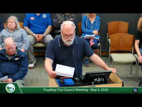
Public comment was extensive and sharply divided. Several residents argued expanded buffers would render many small lots undevelopable, reduce property values, and constrain housing infill. Speakers asked whether the city could conduct a fine‑grain, local study to identify where existing infrastructure (public sewer, storm mains) and other factors support smaller, science‑backed buffer reductions. Council members pressed staff for an approach that balances habitat goals and property rights; Council Member Gilliam asked for targeted mapping work in neighborhoods where stream presence is uncertain.
To reconcile protection goals and property impacts, staff outlined three policy approaches already in the draft: 1) buffer averaging across a lot; 2) a new 'enhancement' option that permits a 25% buffer reduction if owners commit to specified restoration measures (invasives removal, native replanting, pet exclusion and stormwater redirection); and 3) case‑by‑case mitigation and reasonable‑use exceptions where strict application would deprive a landowner of reasonable economic use. Beiel told council the enhancement option was developed in response to public requests for more flexible, net‑benefit approaches.
Council gave direction to pursue more targeted mapping and to return with options that could allow site‑level adjustments where infrastructure or rigorous demonstration shows lower risk. Deputy Mayor Johnson and others asked staff to explore an independent study or consultant scope that would verify stream mapping (some mapped channels are on private property and unclear in the field) and identify areas where a locally tailored approach could relieve disproportionate burdens on large‑lot neighborhoods while protecting water quality.
Next steps: staff will refine code language, specify the enhancement measures, and prepare final ordinance language for summer council readings; they will also scope and budget a supplemental stream‑mapping verification effort and present options for council consideration.