Get Full Government Meeting Transcripts, Videos, & Alerts Forever!
Get email alerts on the Vision Zero topic
No spam. Unsubscribe anytime.
Gardner unveils Vision Zero safety plan, cites 2,500 crashes and seeks public input
Summary
City of Gardner staff and consultants presented a federally funded Vision Zero safety action plan that maps a preliminary high‑injury network after reviewing roughly 2,500 crashes (2021–2025), including 12 fatalities; staff will refine priorities with public feedback and pursue funding for implementation.
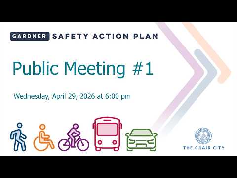
City of Gardner officials and their consultants on Thursday presented a federally funded Vision Zero safety action plan and asked residents to help refine a preliminary high‑injury network of streets to prioritize countermeasures.
Rob Olivera, the city engineer for Gardner, opened the meeting and said the Safe Streets for All grant will fund a 12‑month study intended to produce “a blueprint … for the next three four five years” that identifies projects and funding paths to reduce fatal and serious‑injury crashes. Consultants described a safe‑systems approach that mixes engineering, education and enforcement to reduce speeds and protect pedestrians, bicyclists and motorists.
The consultants presented city crash data from 2021–2025 that they said include about 2,500 reported crashes — roughly 500 a year — and reported 12 fatalities and about 35 suspected serious injuries. They said vulnerable road users experienced 67 crashes over the five‑year period, resulting in five deaths and seven serious injuries. Liam Maher, a consultant, told the room some fatal crashes involved unbelted, ejected occupants; presenters said the transcripted percentage for seatbelt non‑use was unclear and the final report will clarify exact figures.
Consultants pointed to several priority corridors and clusters on maps provided at the meeting: Route 140, West Broadway (Route 2A), downtown corridors around Parker and Central streets, Tony Boulevard, Green Street, Park Street, Main Street and Elm Street. The presentation cited regional work by the Massachusetts Regional Planning Commission (MRPC) and state Highway Safety Improvement Program (HSIP) analyses that identified crash clusters in the region.
The team summarized FHWA‑endorsed countermeasures (speed management, pedestrian and bicycle treatments, intersection and roadway‑departure fixes) and cited evidence that measures such as rapid‑flash beacons can substantially reduce serious pedestrian crashes. Presenters emphasized speed reduction as central to lowering crash severity, noting that higher impact speeds greatly increase the risk a pedestrian will suffer a fatal injury.
Public engagement was a major theme: project staff said the interactive map and online tools have generated more than 100 comments so far and will be used to refine the preliminary high‑injury network. Attendees at the meeting added street‑level observations and urged staff to pair data review with walking audits to better understand pedestrian experience.
In a lengthy public comment, a longtime resident described decades of collisions and near misses at Chestnut Street and nearby intersections, urging immediate steps such as better lighting, traffic calming, and removal of sight‑obstructing vegetation. The resident said, “I’ve seen over 100 accidents that I’ve witnessed,” and pressed staff to prioritize low‑cost mitigations where possible.
City staff and consultants responded that the plan’s purpose is to identify both near‑term, lower‑cost fixes and longer‑term capital projects and to coordinate with partners such as MassDOT and utility owners where jurisdictional issues exist. Rob Olivera noted several street lights are the responsibility of National Grid and that he will follow up to identify points of contact for repairs and replacements.
The project schedule calls for additional public engagement and a draft report later in the year; consultants said the final plan will seek formal adoption and outline funding avenues for implementation. No formal votes or policy adoptions were taken at the meeting; staff encouraged residents to continue submitting pins and comments through the project website and to speak with team members at the meeting’s mapping and poster stations.
What’s next: the consultants will refine the high‑injury network using the mapping input and detailed data elements (including impairment and phone use where available from crash reports), produce a prioritized list of countermeasures and present a draft report later in the project timeline. The team said they will also produce concepts for intersections and corridors and pursue funding for implementation.